Home > Drone & Unmanned Systems
Drone & Unmanned Systems
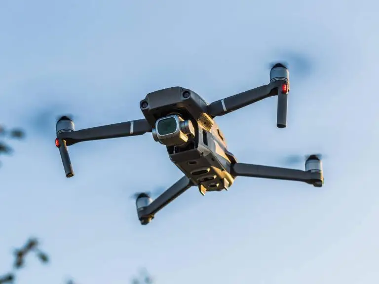
Enterprise Geospatial Full Motion Video and Mission Data Mapping Software and Recording Systems for Professional Drone Operations
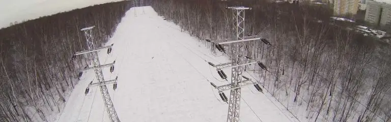
Commercial drone data management is more than just making static maps and uploading nadir pictures to the cloud for orthomosaic processing.
Today’s professional drone operators need a user-friendly method to search, analyze, report, collaborate and share geo-referenced videos, oblique photos, files and maps using existing GIS platforms.
No other company offers UAV operators more options to turn drone video and photo inspection data into dynamic, map-based reports that easily adapt to existing workflows and integrate with enterprise GIS software.
Drone Mapping Software
geoDVR Airborne Full Motion Video Recorders
Proven Video Mapping Solutions for Drone Missions
Turn-key Solutions to Record and Map Geospatial Full Motion Video Including MISB FMV / STANAG 4609-spec Video Files from Professional Airborne Survey, Mapping, Inspection and Surveillance Platforms.