Home > About Us
About Us
Geospatial Full Motion Video Recorder Systems, Integrated Mapping & GIS Software and Custom Development & Consulting
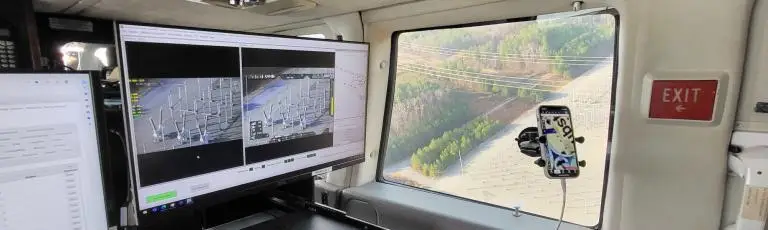
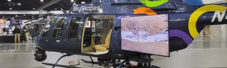
At Remote GeoSystems we solve the challenges in capturing, displaying and managing large volumes of geotagged video and Full Motion Video (FMV). In simpler words, we make it easy for mobile manned and unmanned aircraft/vehicles/vessels to capture and put video and other visual data on a map showing their route movement in both real-time and after the event.
We are a geospatial software and video recorder company offering turn-key solutions to easily record, map, report, archive & search “moving-track” geotagged videos, photos and other location-based project files.
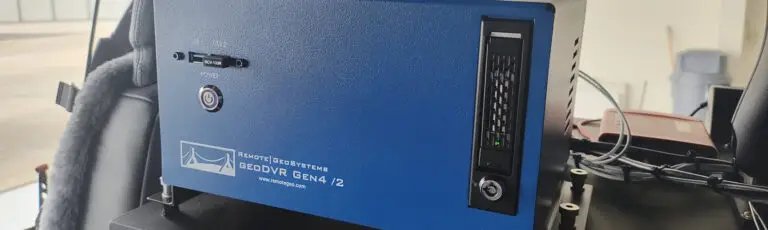
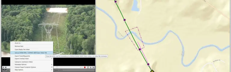
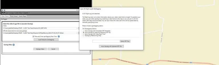
Our products include the industry-first, patented geoDVR (geospatial digital video recorder) and LineVision suite of geotagging and map playback software. Unlike traditional video recording systems, our rugged geoDVRs log GPS and permanently embed the video with this important location and time data. Post-mission, our LineVision video mapping and inspection reporting software provides users with simple but powerful tools for geographic video analysis, editing and project packaging while leveraging existing Geographic Information Systems (GIS).
These capabilities allow for more efficient and accurate data collection and the creation of reusable aerial and ground-based survey and inspection work-products across a broad range of industries including: Unmanned Vehicles, Aerospace & Aviation, Electric Utilities, Oil & Gas, Rail Transportation, Defense & Security, Professional Survey & Mapping and Natural Resources Management.
We offer both complete hardware & software packages and individual components based on your specific data collection project needs including commercial-off-the-shelf (COTS) and custom designed systems.
Our Products & Solutions
Geospatial Full Motion Video & Audio Recorders
Geospatial Full Motion Video & Data Mapping Software
Company News & Updates
Check out articles and news from Remote GeoSystems.