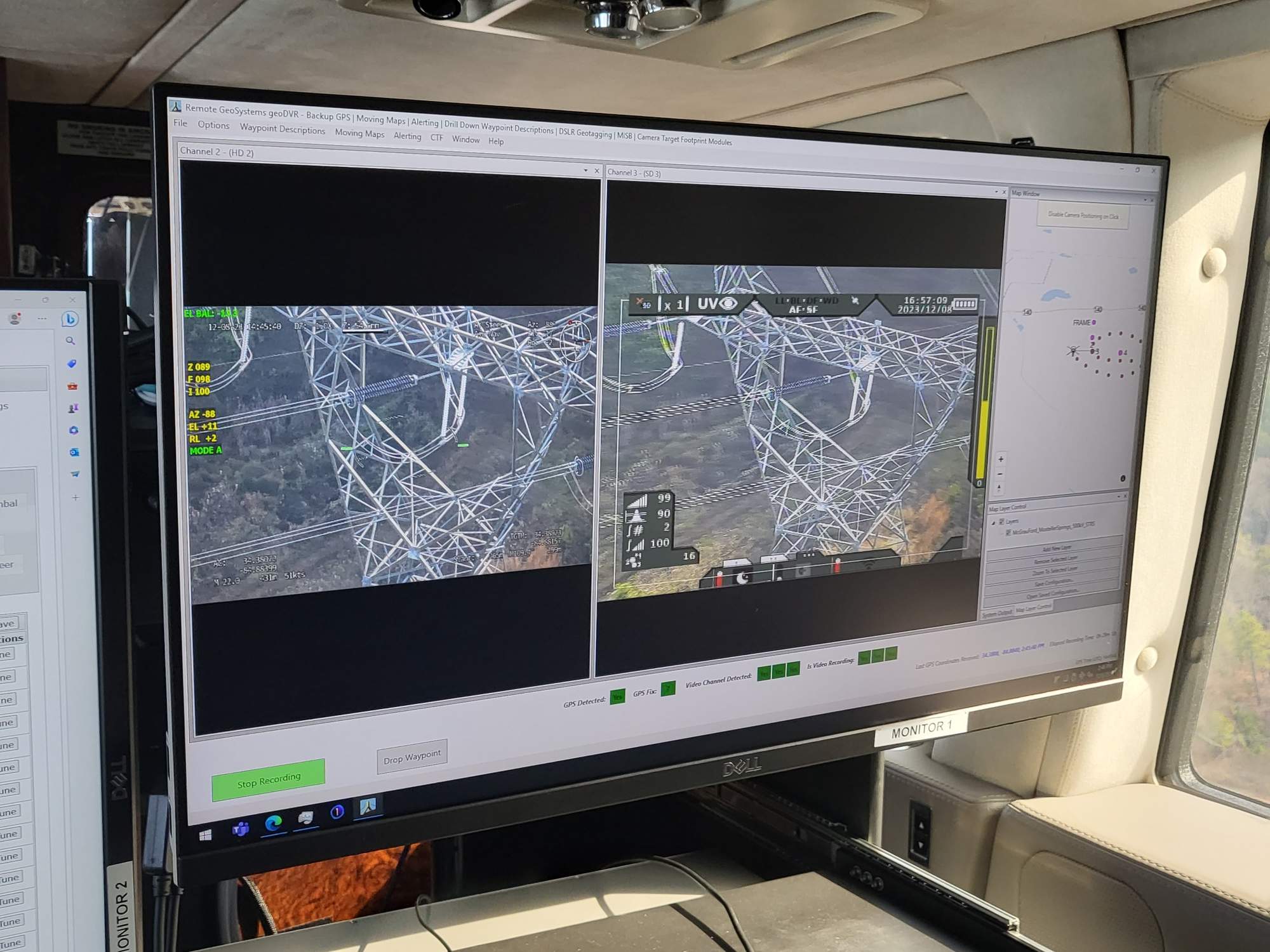
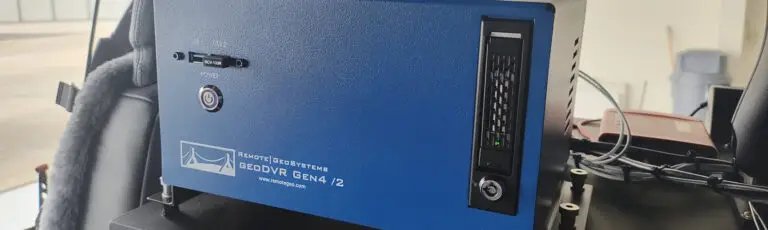
geoDVR Gen4 /2
The all-new geoDVR™ Gen4 /2 is the most powerful multi-channel geospatial full motion video recorder and moving map system in the geoDVR lineup designed to capture continuously georeferenced videos files and metadata from today’s modern 4K Ultra HD and high-definition camera sensors.
The geoDVR Gen4 /2 incorporates the latest high-performance computer components and processors for an unparalleled operator experience in demanding airborne, vehicle and marine data collection environments.
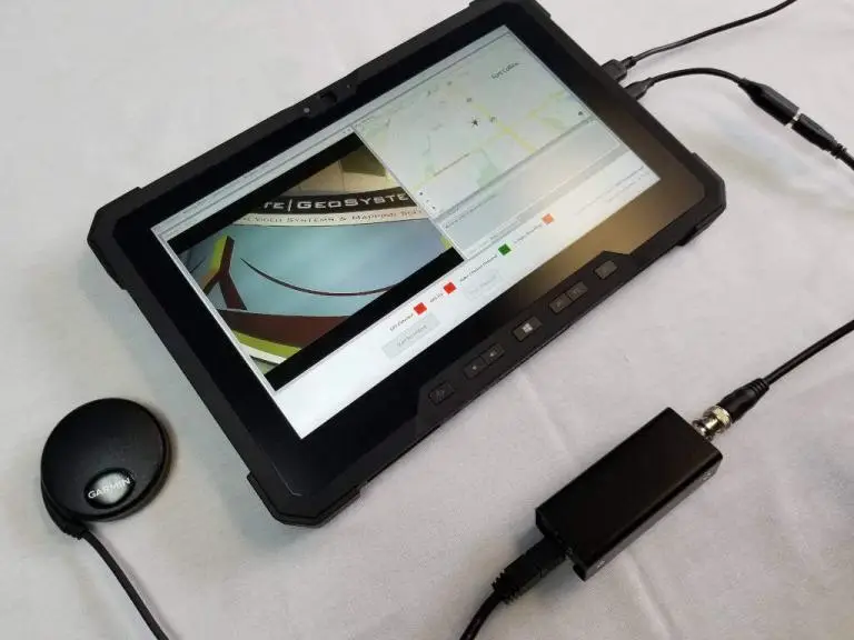
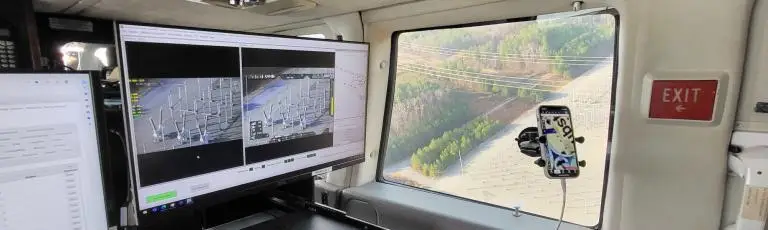
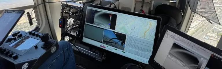
Like it’s predecessors, the geoDVR Gen4 /2 features our industry-leading, integrated user interface, offering the ultimate flexibility for configuring in-mission, multi-channel video recording and live moving maps with single or multi-monitor operator consoles.
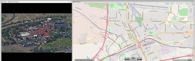
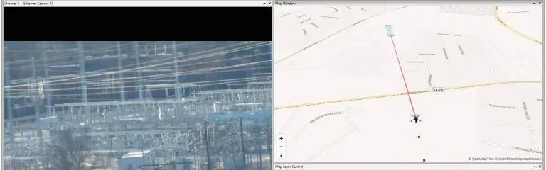
When paired with compatible gyro-stabilized gimbal cameras on aerial platforms, the geoDVR Gen4 /2 can also log and present location metadata to showing aircraft location along with the camera target frame center and field of view on the ground in real-time and post-mission. This can be accomplished through embedded KLV specifications such as MISB 0601 / STANAG 4609 as well as the Remote GeoSystems Camera Target Footprint (CTF) protocol.
The geoDVR Gen4 /2 is more than a geospatial digital video recorder – it’s also a powerful mission computer with a number of optional mapping and metadata modules designed to meet a variety of professional real-time and post-mission survey, inspection and surveillance project requirements.
geoDVR Gen4 /2 Features
Geospatial Data and Mapping Features for Multi-channel 4K UHD & HD Video Recording System from Airborne, Vehicle and Marine Survey Platforms.
Geo-reference 4K UHD & HD Videos
Record full motion video (FMV) with continuous GPS data, including support for synchronized GPX files, MISB/STANAG-spec embedded metadata and Camera Target Footprint (CTF) data.
Multi-Channel Video Recording
The geoDVR Gen4 can be configured to record up from up to 4 video camera sensors on a single platform, with support for 1 - 4K plus 3 - HD or 4 - HD video channels.
Camera Agnostic
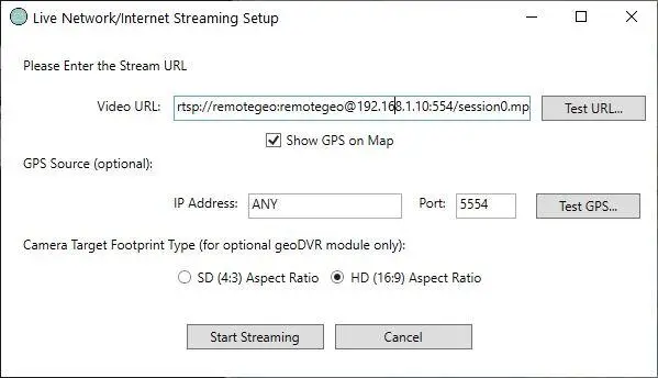
Record geospatial video from most any camera, including multi-sensor gyro-stabilized gimbals, fixed-mount and handheld video cameras with BNC & Ethernet connections.
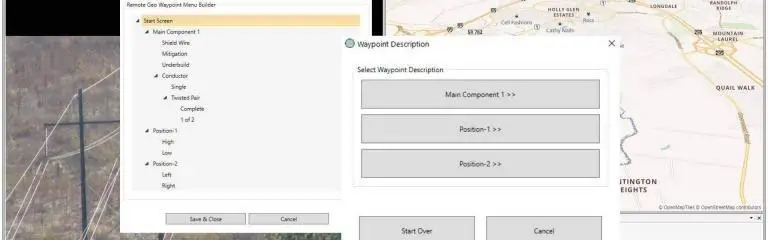
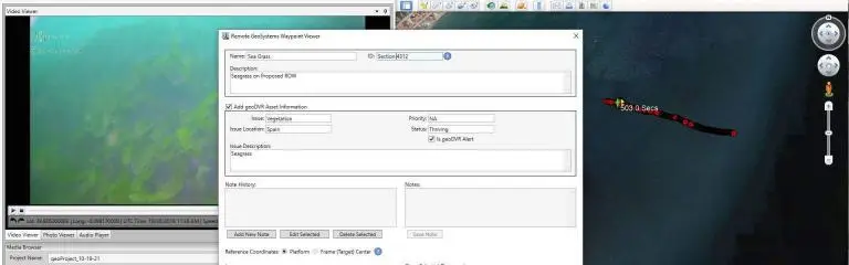
Capture Waypoints & Events
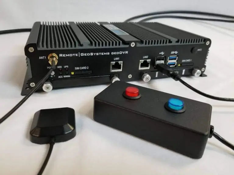
Use handheld switch or touchscreen monitor to log points of interest (POI) with geotagged still images captured from video and optional descriptions.
Configurable User Interface
Customize the layout and sizing of live video previews, map windows and other interface components, save up to 4 unique profiles and settings for different missions.
Push-to-Talk Audio
The geoDVR Gen4 includes built in push-to-talk (PPT) capabilities allowing operators to only record observer and/or cabin audio comments in the video files when the button is engaged.
Custom Recording Quality Settings
Users can choose between Highest, High, Medium and Low video recording quality or configure Custom settings per channel including bitrate, compression encoding location and more.
Removable Solid State Drives
High-capacity solid state drives (SSD) offer longer recording times, flexible in-field data management and write speeds up to 30x faster than CF & SD cards.
Map-Ready Data
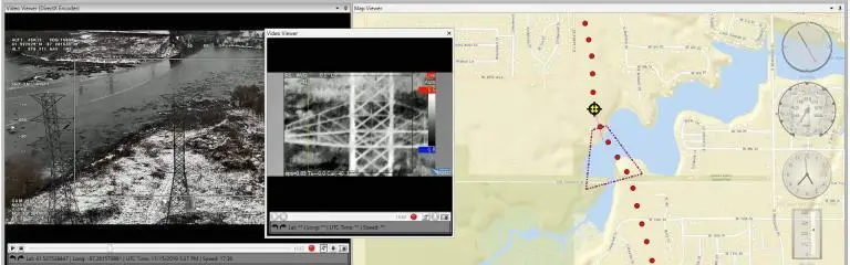
Geotagged video files, live streams and still images can be loaded for interactive map-based viewing, geo-editing, analysis and reporting in our LineVision software - no post-processing required!
Optional Modules
Upgrade your geoDVR system with optional modules for additional in-mission situational awareness, camera/sensor data collection and post-mission mapping and asset management.
Some features and specifications will vary based on geoDVR configuration, optional modules selected and/or types of cameras/sensors used.
geoDVR Gen4 /2 Optional Modules
Our optional geoDVR modules offer flexible and scalable options for enhanced mission capabilities and metadata capture requirements for a variety of geospatial full motion video data collection applications.
geoDVR Gen4 /2 Specifications
Video Camera Connections
Configured to order, Single and Multi-channel UHD & HD configurations are available.
- 1-4 x BNC Input (digital & analog)
- Ethernet/IP Input
- Support for 4K UHD, HD-SDI, 3G-SDI
Video File Formats
- .MP4
- .AVI
- .TS (requires compatible camera)
Supported Video Camera Resolutions
UHD (Ultra High-Definition)
- 3G SDI 2160p/30fps, 6G SDI 2160p/30fps, 12G SDI 2160p/60fps
HD (High-Definition)
- 1920×1080, 1280×720
Audio
Record in-mission audio comments embedded in the video files
- Line-in
- Line-out
- Mic-in
Connections & Media
- 4 x USB 3.2 Gen 2
- 2 x USB 3.2 Gen 1
- 2 x USB 2.0
- 1 x Ethernet Port (2.5 Gbps)
- 1 x GPS Antenna
- Display: 1 x HDMI, 1 x DisplayPort
- Storage: Includes removable 1 TB Solid State Drive (upgradable to 2 TB or 4 TB)
Power Requirements
- 12V DC, 20 Amps, 240 Watts
Form Factor & Mounting
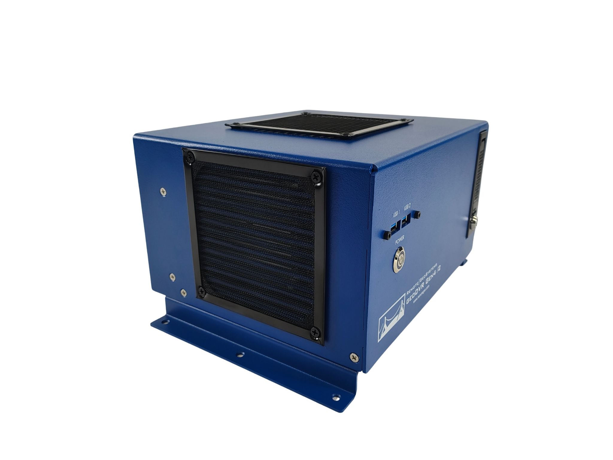
- Construction: Aluminum Alloy
- Weight: ~4.2 kg / 9.2 lbs (without accessories)
- Dimensions:
9.75″ / 247.65 mm wide (11.33″ / 273.05 mm wide w/ flanges attached)
5.375″ / 136.525 mm high (6.165″ / 156.591 mm high w/ flanges attached)
8.125″ / 206.375 mm deep - Mounting: Included flanges for mounting horizontally
Some features and specifications will vary based on geoDVR configuration, optional modules selected and/or types of camera(s) used. Specifications are subject to change.
Ready to Get Started?
Free Trial
Get Quote
Schedule Demo
Video & Data Mapping Software for geoDVR
Playback and analyze georeferenced geoDVR videos and data with our interactive LineVision mapping and reporting software suite with support for the Remote GeoSystems “geoProject” deliverable format.




geoDVR News & Updates
Check out recent geoDVR related news and updates from Remote GeoSystems.
Other geoDVR Video Recorder Systems
Our geoDVR systems are available in different form factors and configurations to meet a variety of in-mission video camera/sensor integrations and workflows.