What We Do
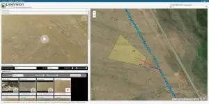
Remote GeoSystems develops professional geospatial video & full motion video mapping software and GPS-enabled video recorder systems for critical infrastructure survey, inspection and surveillance mapping and reporting.
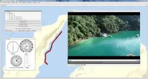
We offer a variety of solutions to easily geotag, map, share, archive & search geo-referenced videos, photos and other location-based project files from data collection platforms.
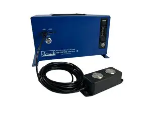
Our rugged geoDVR video recording systems and integrated LineVision software options are ideal for airborne, drone, vehicle and marine mapping surveys, real-time situational awareness and post-mission mapping.
Geospatial Video Mapping Software & Recorders
Geospatial Video & Photo Mapping Software
Geospatial Full Motion Video Recorders
Georeference Videos from Any Platform
Turnkey Solutions to Record and Map MISB FMV / STANAG 4609 & Geospatial Video from Aerial, Land & Marine Survey, Inspection and Surveillance Platforms
Airborne
Airborne Geospatial Video Recorders and Real-time/Post-flight GIS FMV Mapping Software
Drone
Software and Hardware Solutions for Small UAS and BVLOS Drone Survey, Inspection and Surveillance
Marine
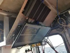
Georeferencing Marine Video Recorder Systems and GIS Software for Subsea ROVs & Surface Vessels
Vehicles
Rugged Mobile Vehicle GPS Digital Video Recorders & Transportation Mapping & Survey Solutions
Rail
GIS Video Solutions for Positive Train Control (PTC) Data Collection and Track & Railway Asset Mapping
Human
Software to Geotag and Playback Video from Action Cameras, Body-worn and Handheld Sensors
Latest News & Updates
Featured Solutions
Offering the Most Advanced DJI Drone Full Motion Video Solutions
Check Out the New LineVision Online
Upgrade / Retro-fit Gimbal Cameras
Our Clients

