Home > Vehicle Mapping Solutions
Vehicle Mapping Solutions
Geospatial Full Motion Video Recorders and Integrated Mapping Software for Mobile Mapping, Survey & Special Mission Tactical Vehicles
Featured Vehicle Video Survey and Mapping Capabilities
Mobile Mapping & Survey Vehicles
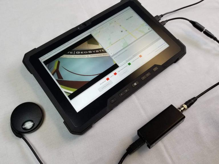
The geoDVR and LineVision offer plug & play geospatial full motion video capture and mapping system for your mobile mapping and survey vehicle. Utilize your existing video cameras and add additional value to your corridor mapping capabilities and deliverables. Vans, ATVs and human-powered tricycles – these are just a few of the platforms you can transform into a professional mobile mapping vehicle with our mobile video survey and inspection solutions.
Security & Tactical Vehicles
Whether outfitting an armored vehicle with a gyro-stabilized gimbal for force protection or designing a covert vehicle for route reconnaissance, the geoDVR multi-camera video recorder and LineVision mapping software provide a simple and discreet export-friendly geospatial video solution for mission planning, real-time situational awareness and review.
Autonomous Vehicles
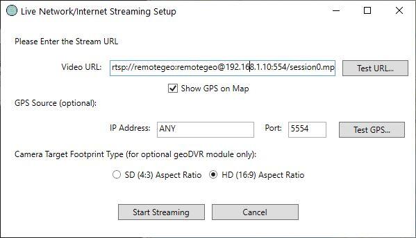
Video cameras are an integral part of the autonomous design, development and testing process. Self-driving cars require external cameras and traditional vehicle R&D relies on a number of cameras to analyze various components. The geoDVR provides a small foot-print multi-camera solution with the added advantage of embedding GPS data into every frame of video for map-based playback and analysis in LineVision.
geoDVR Recorders for Vehicle Video Surveys
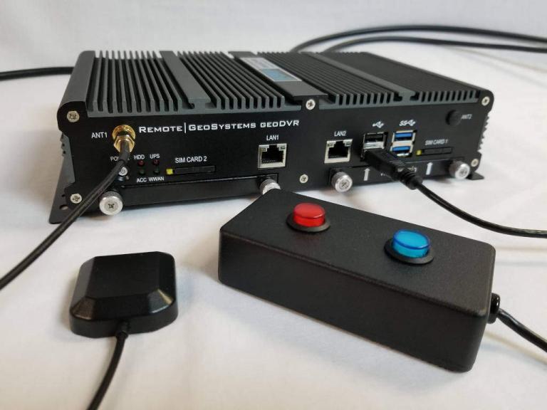
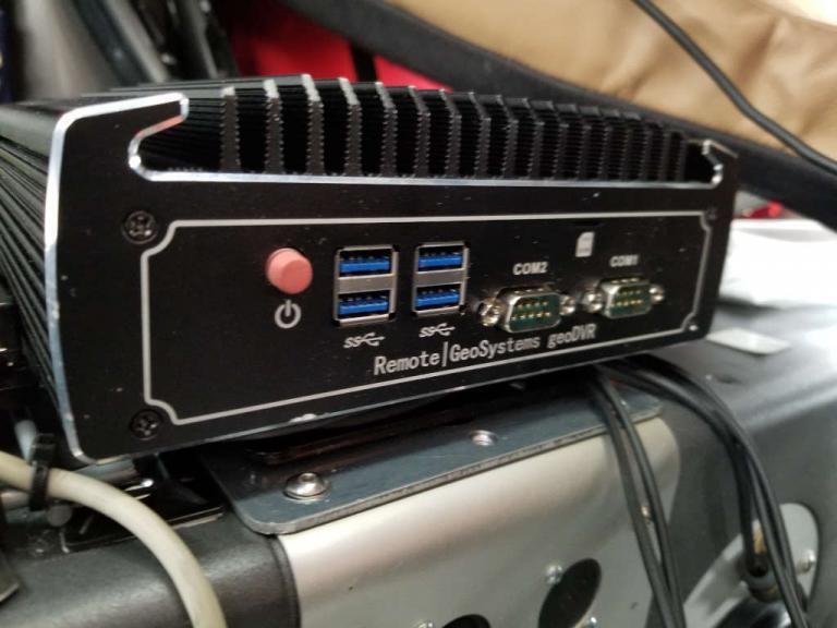
Our geoDVR geospatial full motion video recording systems are available in different form factors and configurations to meet a variety of mobile mapping vehicle camera/sensor integrations and workflows.
Our optional geoDVR modules offer enhanced asset metadata capture capabilities for vehicle-based roadway and transportation infrastructure survey and mapping projects.
Ready to Get Started?
Free Trial
We offer Full-featured, 7-day FREE LineVision Software Trials. No Credit Card Required.
Get a Quote
Select and Configure a geoDVR Recorder to Fit Your Vehicle Video Survey Mission and Project Data Deliverable Requirements.
Schedule Demo
Learn How Our geoDVRs and LineVision Software and Other Solutions Can Add Value to Your Vehicle-based Remote Sensing Projects.


