Home > Marine Geospatial Video Systems > Subsea ROV Video Mapping Solutions
Subsea ROV Video Mapping Solutions
Geospatial Full Motion Video Recorders, Moving Map Systems and Situational Awareness Mission Software to Record, Geo-reference, Map, Archive and Search Videos and other Geospatial Data from Underwater Remotely Operated Vehicles
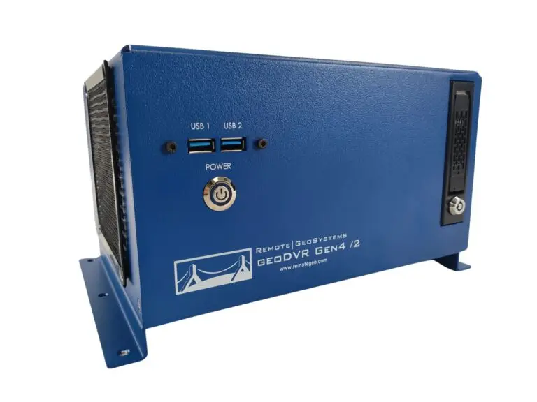
Remote GeoSystems builds the industrial-grade geoDVR™, a geospatial digital video recorder for subsea ROV systems and underwater cameras used in marine survey, inspection and mapping applications. The geoDVR is the most capable geospatial Full Motion Video (FMV) recorder for professional underwater video projects.
The geoDVR records video feeds directly from the ROV’s video cameras while simultaneously logging the GPS data with the video file. Optional geoDVR modules allow for even more advanced underwater geospatial video capabilities and deliverables including point of interest keywords, live moving maps, MISB FMV file creation and remote access control of the unit.
Subsea ROV Geospatial Video Capabilities
- Log GPS and time data with video
- Flexible Mission Display Configuration – No additional multipexing hardware required!
- Connects to most subsea ROV underwater video cameras
- Log two GPS data feeds from both ROV and surface boat positions with video
Multi-camera high-definition (HD) & standard definition (SD) configurations - Live viewing of video with ROV and surface vessel positions on a map
Record additional data streams and/or video from other ROV sensors & software
- Post-mission viewing of ROV geotagged video and photos locations in LineVision
- Output a GPS NMEA feed from LineVision to other ROV software programs
- Custom-configure geoDVR and LineVision options to meet your specific ROV requirements
- Upload Mission Plans & Custom Maps
Subsea ROV Geospatial Video Solutions
Geospatial Full Motion Video Recorders for Subsea ROVs
Underwater Survey & Inspection Mapping Software Applications for Subsea ROVS
geoDVR Recorders for Subsea ROV Systems
Our geoDVR video systems are available in different form factors and configurations to meet a variety of subsea ROV platforms, underwater camera types and data collection workflows.
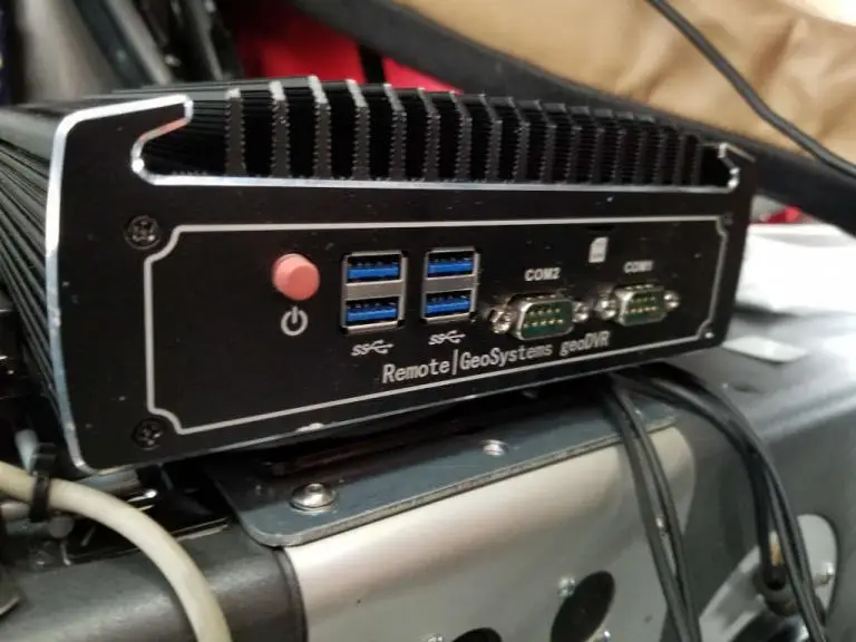
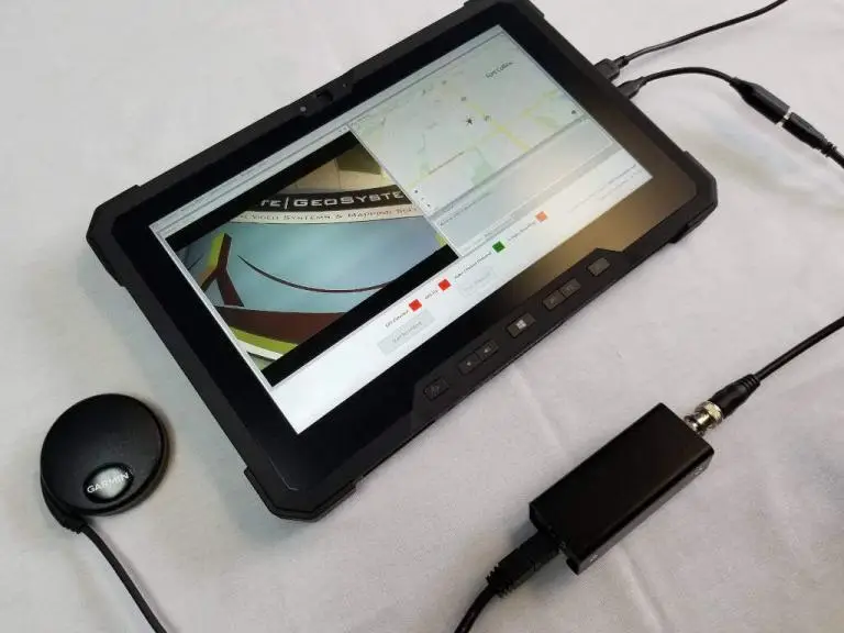
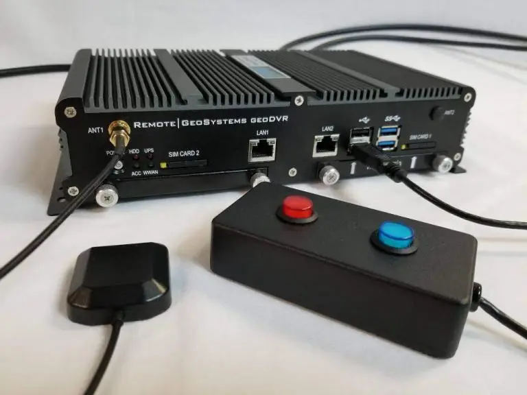
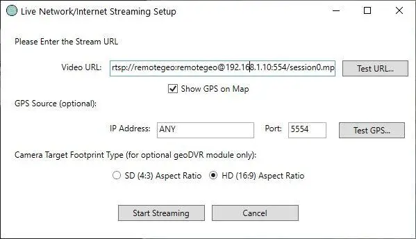
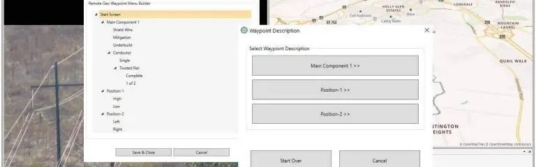
Our optional geoDVR modules offer flexible and scalable capabilities for enhanced underwater mission georeferenced video capabilities and metadata capture requirements for subsea ROV operations.
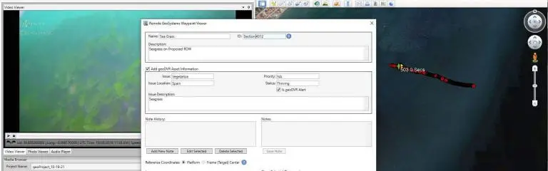
LineVision Software for Subsea ROV Data Mapping
Our LineVision software offers flexible options for building reports and sharing interactive post-mission Subsea ROV deliverables with georeferenced videos and photos.

Subsea ROV Applications
- Seabed Pipeline Monitoring
- Subsea Infrastructure Construction
- Offshore Windfarm Inspection
- Power & Communications Cable Video Inspection
- Offshore Platform Inspection
- Floating Wind Turbines
- Asset Reactivation
- Underwater Archaeology
- Marine Life Research
- Salvage & Recovery Operations
Share this page with Colleagues & Clients!
Subsea ROV News & Updates
Check out related Subsea ROV inspection and survey news and content from Remote GeoSystems.