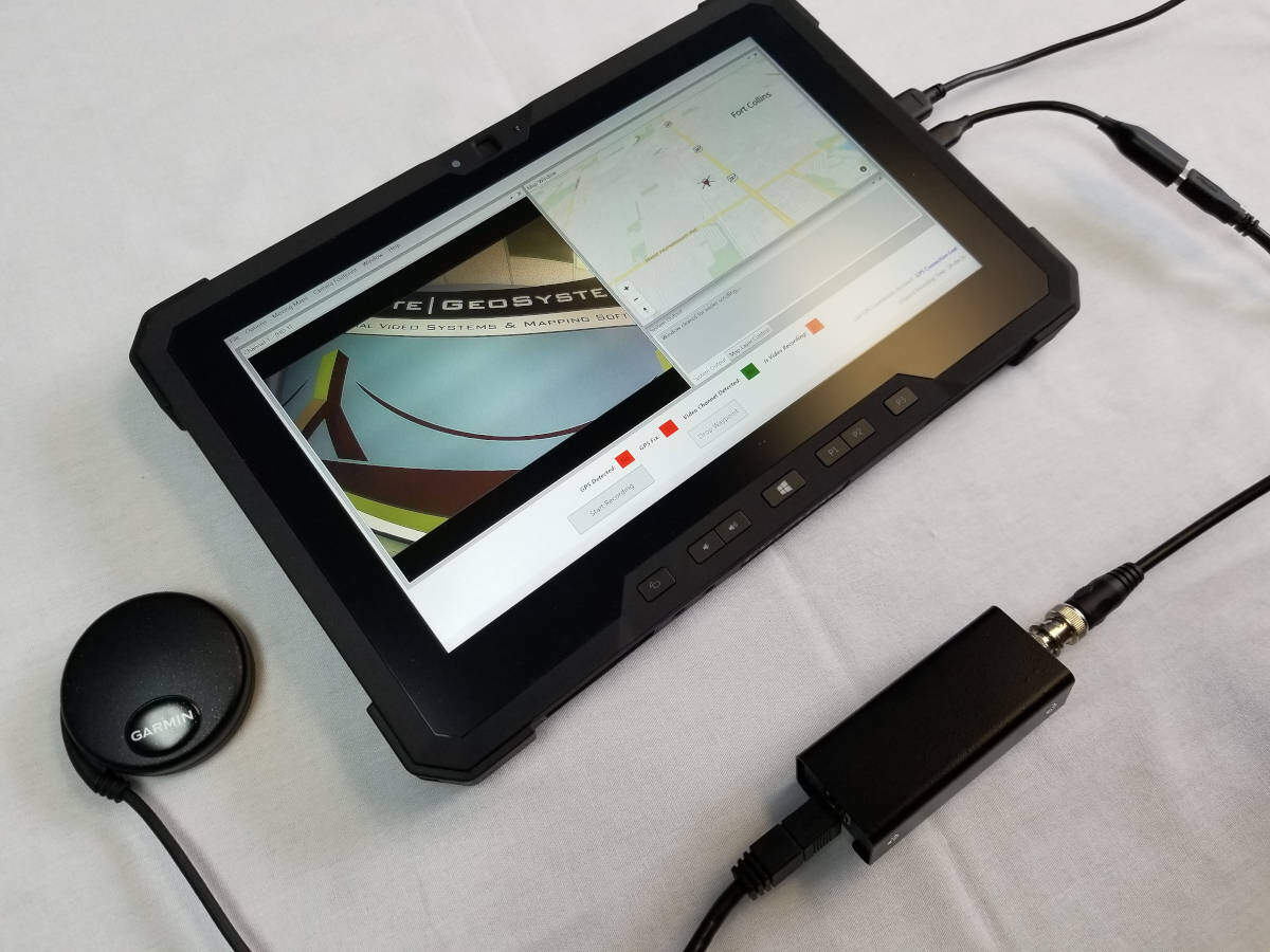
geoDVR Tablet
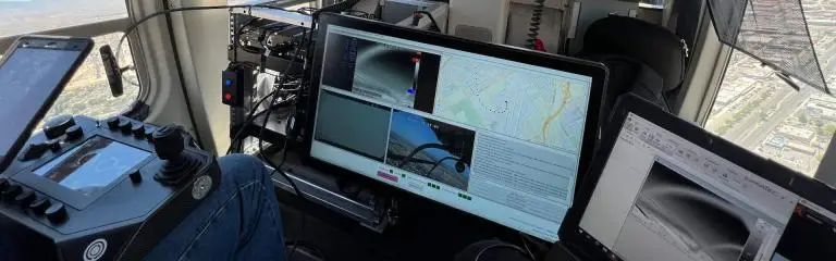
The geoDVR™ Tablet is a professional-grade, Windows tablet-based, GPS-enabled video recorder and mapping solution designed for collecting geo-referenced video files, point of interest (POI) anomalies from moving platforms in the field, such as people, vehicles, aircraft and marine platforms.
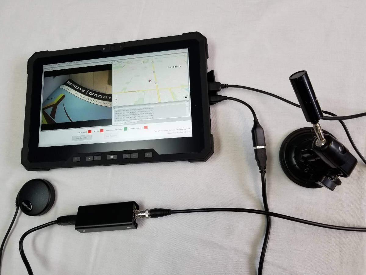
The geoDVR Tablet is designed to work with both a external fixed-mount camera/GPS receiver and/or using the PC tablet’s on-board camera and GPS.
Connect most gyro-stabilized gimbals, fixed-mount, and handheld video cameras to the geoDVR, and in seconds, operators can start recording geo-referenced video files.
Recorded geospatial video/photo files can be played-back and leveraged in survey and inspection reporting software like our LineVision solutions, Esri ArcGIS tools, work order dispatch, mission planning and asset management systems.
Connect most fixed-mount, gyro-stabilized gimbals and handheld video cameras to the geoDVR Tablet, and in seconds, operators can start recording geo-referenced video files
Recorded geospatial video can be played-back and leveraged in survey and inspection reporting software like our LineVision solutions, Esri’s ArcGIS tools, work dispatch, mission planning and asset management systems.
geoDVR Tablet Features
Geospatial Data and Mapping Features for 2 Channel HD Video Recording from Airborne, Vehicle and Mobile Marine Survey Platforms.
Geo-reference HD Videos
Record full motion video (FMV) with continuous GPS data, including support for synchronized GPX files, MISB/STANAG-spec embedded metadata and Camera Target Footprint (CTF) data.
Multi-Channel Video Recording
The geoDVR Tablet can be configured to record up from up to 2 video camera sensors on a single platform, with support for up to 2 - 1080p HD BNC or 2 - HD Ethernet video channels.
Camera Agnostic
Record geospatial video from most any camera, including multi-sensor gyro-stabilized gimbals, fixed-mount and handheld video cameras with BNC & Ethernet connections.
Capture Waypoints & Events
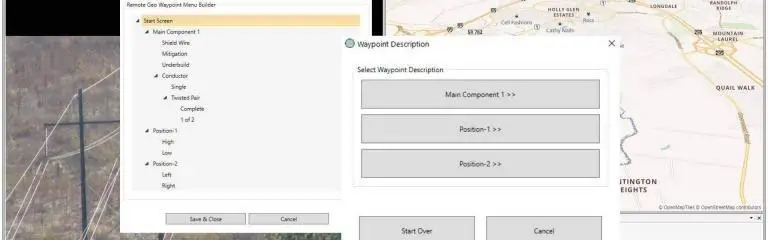
Use handheld switch or touchscreen monitor to log points of interest (POI) with geotagged still images captured from video and optional descriptions.
Configurable User Interface
Customize the layout and sizing of live video previews, map windows and other interface components, save up to 4 unique profiles and settings for different missions.
Custom Recording Quality Settings
Users can choose between Highest, High, Medium and Low video recording quality or configure Custom settings per channel including bitrate, compression encoding location and more.
Map-Ready Data
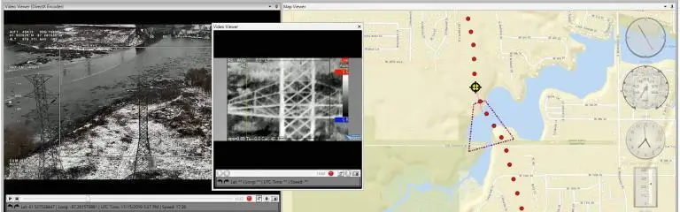
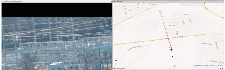
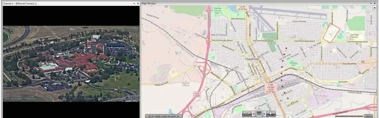
Geotagged video files, live streams and still images can be loaded for interactive map-based viewing, geo-editing, analysis and reporting in our LineVision software - no post-processing required!
Optional Modules
Upgrade your geoDVR system with optional modules for additional in-mission situational awareness, camera/sensor data collection and post-mission mapping and asset management.
Some features and specifications will vary based on geoDVR Tablet configuration, optional modules selected and/or types of cameras/sensors used.
geoDVR Tablet Optional Modules
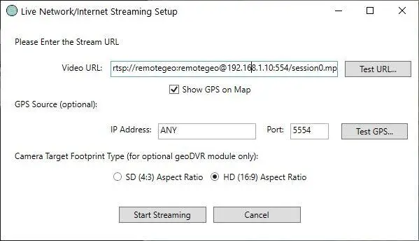
Our optional geoDVR modules offer flexible and scalable capabilities for enhanced in-flight mission capabilities and metadata capture requirements for a variety of geospatial full motion video data collection applications.
geoDVR Tablet Specifications
Video Camera Connections
Configured to order, 1 and 2 channel configurations are available.
- 1-2 BNC Video Inputs, 1 HDMI Video Input or 1-2 Ethernet/IP Video Inputs
Video File Formats
- .MP4
- .AVI
- .TS (requires compatible gimbal camera and/or appropriate post-mission LineVision software)
Supported Video Camera Resolutions
HD (High-Definition)
- 1920×1080, 1280×720
Audio
- Record Audio Embedded in Videos
- USB Mic-in/Line-out
- Push-to-Talk (PTT) Option
Connections & Media
- 3 x USB 3.0 Ports (with Docking Port)
- Micro Serial Port USB 3.1 Type-C
- 1 x Ethernet Ports
- Smart Card Reader
- 1 USB GPS Receiver/Antenna
Display
- 11.6” FHD 1920×1080, 16:9
- Outdoor-readable Display w/ Gloved Multi-Touch
- Gorilla Glass
Hardware Specifications
- CPU: Intel i5-7300U 2.6GHz
- RAM: 8GB 1866MHz LPDDR3 Memory
- M.2 SATA Class 20 Solid State Drive
Power
- Draws 45 Watts, 19.5 Volts
- Onboard Battery
- 110V AC Wall Power Adaptor
Form Factor & Environmental
- Weight: ~2.82 lbs (without accessories)
- Dimensions: Height: 0.96″ (24.38 mm) Width: 12.3″ (312.42 mm) Depth: 8″ (203.2 mm)
- IEC 60529 ingress protection 18: IP-65 (dust-tight, protected against pressurized water)
Included Accessories
- Docking Port
- Detachable Keyboard
Some specifications will vary depending on geoDVR Tablet configuration, optional modules selected and/or types of cameras/sensors used. Specifications are subject to change based on available tablet PC hardware.
Ready to Get Started?
Free Trial
Get Quote
Schedule Demo
Video & Data Mapping Software for geoDVR
Playback and analyze georeferenced geoDVR videos and data with our interactive LineVision mapping and reporting software suite with support for the Remote GeoSystems “geoProject” deliverable format.



geoDVR News & Updates
Check out the latest geoDVR related news and updates from Remote GeoSystems.
Related geoDVR Video Recorder Systems
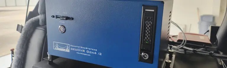
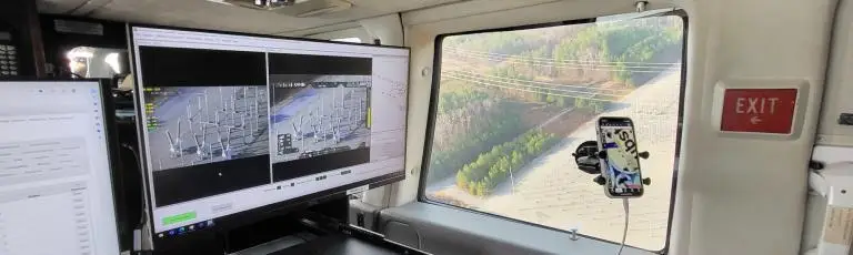
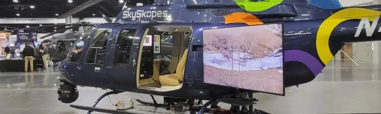
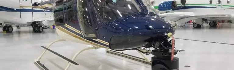
Our geoDVR systems are available in different form factors and configurations to meet a variety of in-mission video camera/sensor integrations and workflows.