

Geotag, Map, Edit, Report, Share & Manage Geospatial Full Motion Videos, Photos and Other Metadata from Inspection, Patrol, Survey & Surveillance Operations
Geotag Video, Interactive Map-based Playback & Geospatial Video Editing

LineVision Online
Now available in hosted Professional and Team Editions as well as on-premise Enterprise deployments.
Record Georeferenced Full Motion Video & Audio with Continuous GPS & Other Important Project Metadata with our Patented geoDVR™ Systems.
Record Georeferenced Audio-only Files with Continuous GPS & Other Important Project Metadata with Our geoDSR™ Systems.
Enhance your geospatial video and audio data collection capabilities with our optional geoDVR & geoDSR modules.

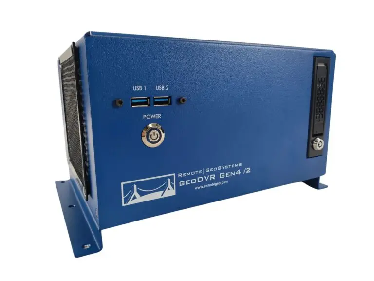
New geoDVR Gen4 /2
Offering professional 4K UHD & HD geospatial full motion video recording – Ideal for multi-camera data collection platforms.
Our professional geoDVR video recording systems and integrated LineVision software options are ideal for airborne, drone, vehicle, rail & marine survey mapping and surveillance data collection platforms.

Ballard Marine Construction
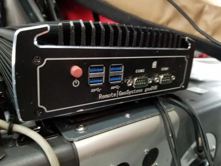
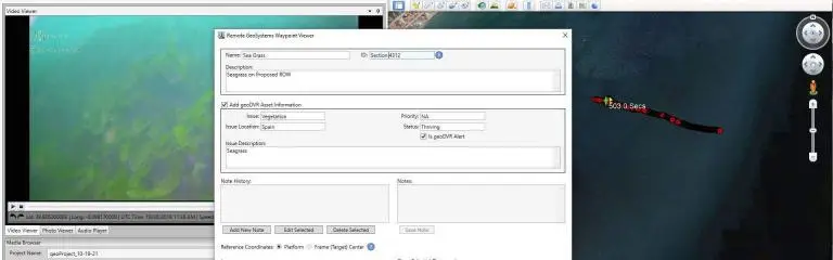
geoDVR Gen3 for recording georeferenced video from a VideoRay subsea ROV.

DJI Drone Software
Offering professional video and photo mapping software for DJI drone survey and inspection projects.
Home > Airborne Systems > Aerial Public Safety Video Systems
Geospatial Full Motion Video Recorders, Moving Map Systems and Situational Awareness Mission Software for Airborne Law Enforcement, Search & Rescue and Surveillance Operations
Remote GeoSystems offers Airborne Law Enforcement, Search & Rescue and ISR camera operators several COTS & custom advanced, mil-spec, multi-channel geospatial digital video recorders and mission mapping systems for aerial surveillance and evidence management.
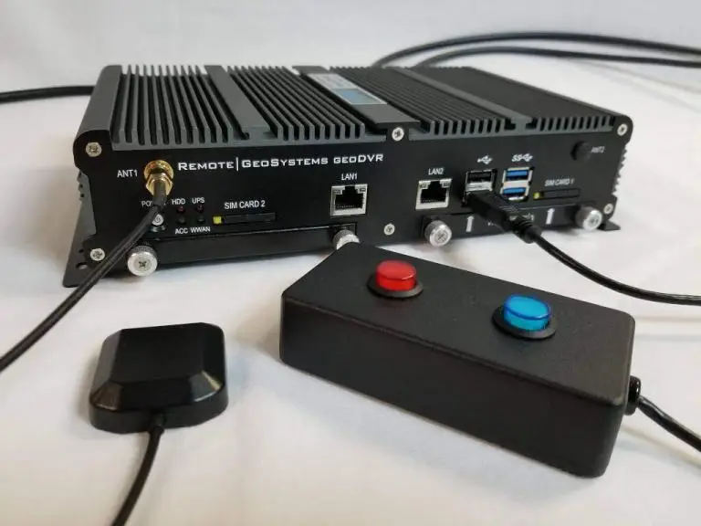
The geoDVR records video feeds directly from your aircraft’s gimbal or fixed-mount video cameras while simultaneously logging the GPS data with the video file.
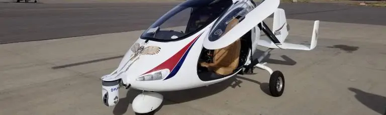
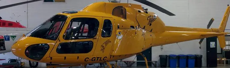
Airborne Law Enforcement, Search & Rescue (SAR) and Wildland Fire Fighting teams will appreciate the reliable and rugged simplicity of the geoDVR’s geo-synchronized HD and FLIR infrared (IR) multi-channel video recording capability.
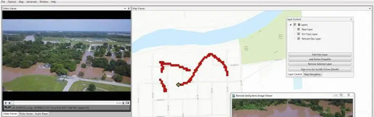
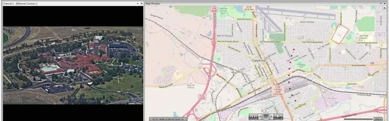
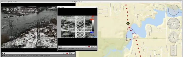
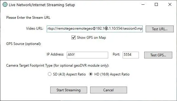
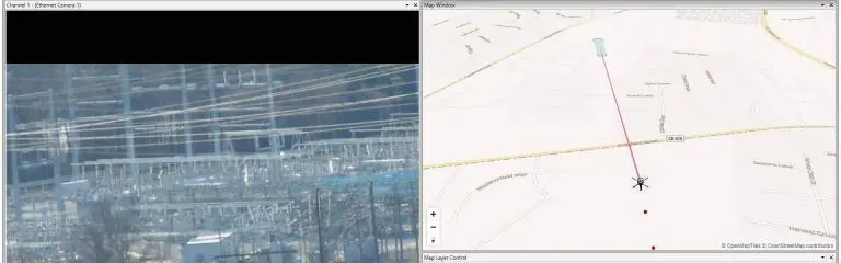
Geo-referenced video from the geoDVR can be live-streamed to LineVision software or added/uploaded after the mission, providing a simple solution for common operating picture (COP) and situational awareness allowing specialists to geographically interact and review mission activities and data.
LineVision works with all kinds of geo-referenced video and photo data from EO/IR gimbal camera systems to patrol vehicles and body-worn video cameras.
No GIS software or extensive technical mapping skills are needed to get the job done!
Our geoDVR video systems are available in different form factors and configurations to meet a variety of in-flight aerial law enforcement, SAR and surveillance camera/sensor integrations and workflows.
Our optional geoDVR modules offer scalable and enhanced in-flight mission capabilities for aerial public safety operations.
Our LineVision software offers flexible options for building and sharing interactive post-flight aerial public safety intelligence and situational awareness deliverables with georeferenced video and photos.
Check out related airborne law enforcement, search & rescue and emergency response news and content from Remote GeoSystems.