Home > Recorders > geoDVR Modules > Asset Management & Mission Alerting
Asset Management & Mission Alerting
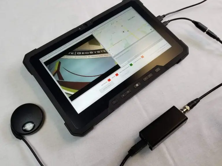
Optional geoDVR Module for Capturing Asset/Target Status and Anomalies for Asset Management Systems and In-field Follow-up Revisits in Survey, Inspection & Patrol Operations
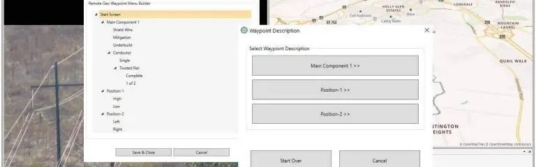
The Asset Management & Mission Alerting module serves dual-purposes and builds on the functionality of the Drill Down Waypoint Description module.
While the Drill Down Waypoint Description module is not required for this module to function, it is recommended, as when Waypoint Descriptions are selected “in-flight” while recording with the geoDVR, they will appear “post-flight” in the LineVision software in the Waypoint Viewer/Asset Management box for waypoints along a video flight track.
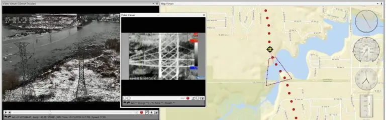
Now with Waypoint Descriptions in the LineVision Waypoint Viewer/Asset Management box, users can then fill in additional details on the waypoint asset or anomaly’s condition, including photos, notes and documents if applicable. All the waypoints and updated details can then be exported in a CSV to map and ingest to third-party or homegrown enterprise asset management software.
Additionally, if the camera operators want to be notified of a previously identified issue on subsequent inspection with the geoDVR, users can use the Waypoint Viewer/Asset Management box in LineVision to set a “geoDVR Alert.” These alerts can then be exported from LineVision and brought into the geoDVR where a user-defined radius can be set to trigger the alerts while flying. At that point, the camera operator can mark the asset issue as complete, mark it for review or ignore it.
Share this page with Colleagues & Clients!
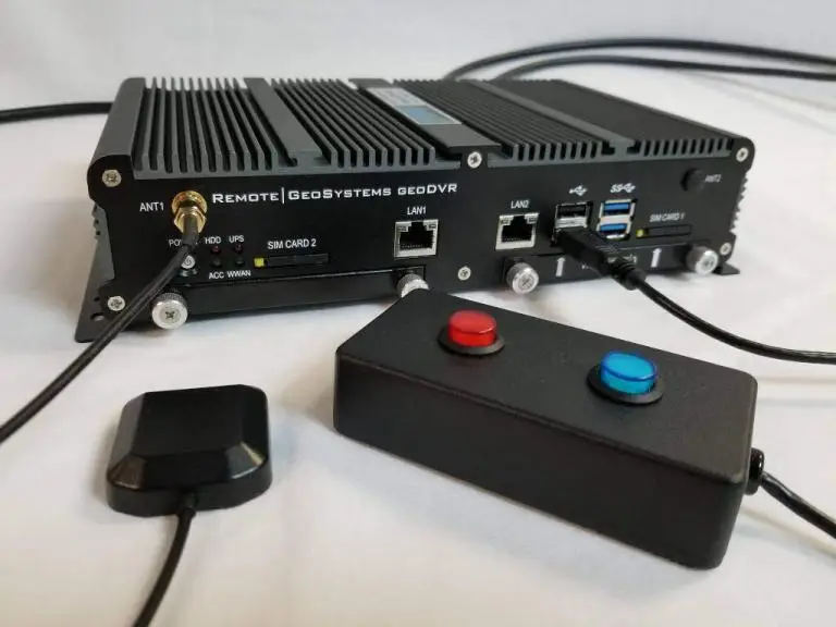
Compatible geoDVR Models
The following geoDVR models support the optional Asset Management & Mission Alerting Module for advanced survey, inspection and patrol video recording and location metadata collection.
Compatible LineVision Software
The following LineVision software versions support the optional Asset Management & Mission Alerting Module for advanced geospatial video recording and asset/location metadata collection.
Other geoDVR Modules
Explore other optional geoDVR modules for enhanced in-flight mission capabilities and metadata capture requirements for a variety of geospatial full motion video data collection applications.