




Home > Marine Geospatial Video Systems > Surface Vessel Video Solutions
Surface Vessel Video Solutions
Record Georeferenced Full Motion Video from Infrared (IR) & Color (EO) Fixed-mount and Steerable Gimbal Camera Systems Onboard Marine Surface Vessels
Our geoDVR systems are ideal for recording video from simple fixed-mount video camera setups to multi-sensor gyro-stabilized imaging systems for marine surface vessels.
This unique capability enhances your capabilities including:
- Environmental surveys
- Port security
- Close support and long-range surveillance
- Search and rescue operations
Marine Camera Geospatial Video Capabilities
- Log GPS and time data with video
- Flexible Mission Display Configuration – No additional multipexing hardware required!
- Connects to most subsea ROV underwater video cameras
- Log two GPS data feeds from both ROV and surface boat positions with video
Multi-camera high-definition (HD) & standard definition (SD) configurations - Live viewing of video with ROV and surface vessel positions on a map
Record additional data streams and/or video from other ROV sensors & software
- Post-mission viewing of ROV geotagged video and photos locations in LineVision
- Output a GPS NMEA feed from LineVision to other ROV software programs
- Custom-configure geoDVR and LineVision options to meet your specific ROV requirements
- Upload Mission Plans & Custom Maps
Surface Vessel Geospatial Video Solutions
Geospatial Full Motion Video Recorders for Subsea ROVs
Underwater Survey & Inspection Mapping Software Applications for Subsea ROVS
geoDVR Recorders for Marine Surface Vessels
Our geoDVR video systems are available in different form factors and configurations to meet a variety of marine survey surface vessel platform data collection workflows.
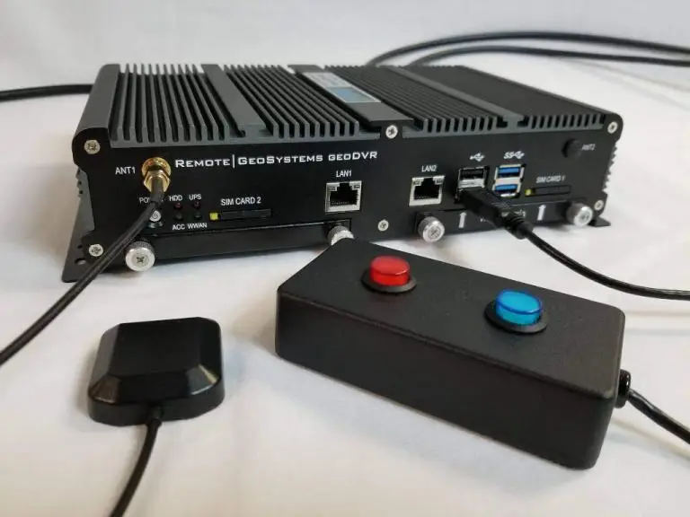
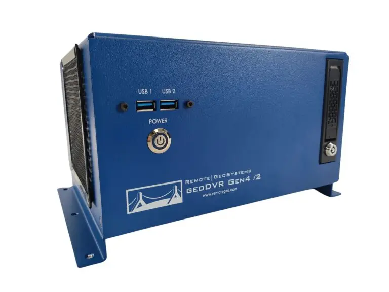
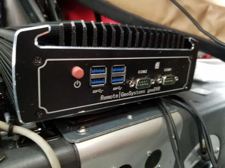
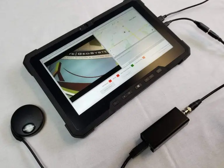
Our optional geoDVR modules offer flexible and scalable capabilities for enhanced underwater mission georeferenced video capabilities and metadata capture requirements for marine surface vessel operations.
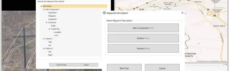
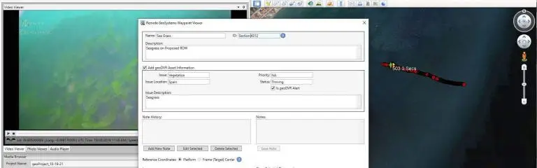
LineVision Software for Surface Vessel Video Mapping
Our LineVision software offers flexible options for building reports and sharing interactive post-mission Subsea ROV deliverables with georeferenced videos and photos.

Subsea ROV Applications
- Maritime Surveillance Cameras
- Search & Rescue Vessels
- Port & Harbor Security
- Emergency Response Support
- Polar Ice Surveys
- Shoreline Erosion Monitoring