Home > Mapping Software > LineVision Google Earth Extension
Geotag, Map, Edit, Report, Share & Manage Geospatial Full Motion Videos, Photos and Other Metadata from Inspection, Patrol, Survey & Surveillance Operations
Geotag Video, Interactive Map-based Playback & Geospatial Video Editing
Record Georeferenced Full Motion Video & Audio with Continuous GPS & Other Important Project Metadata with our Patented geoDVR™ Systems.
Record Georeferenced Audio-only Files with Continuous GPS & Other Important Project Metadata with Our geoDSR™ Systems.
Enhance your geospatial video and audio data collection capabilities with our optional geoDVR & geoDSR modules.
Our professional geoDVR video recording systems and integrated LineVision software options are ideal for airborne, drone, vehicle, rail & marine survey mapping and surveillance data collection platforms.

DJI Drone Software
Offering professional video and photo mapping software for DJI drone survey and inspection projects.
Home > Mapping Software > LineVision Google Earth Extension


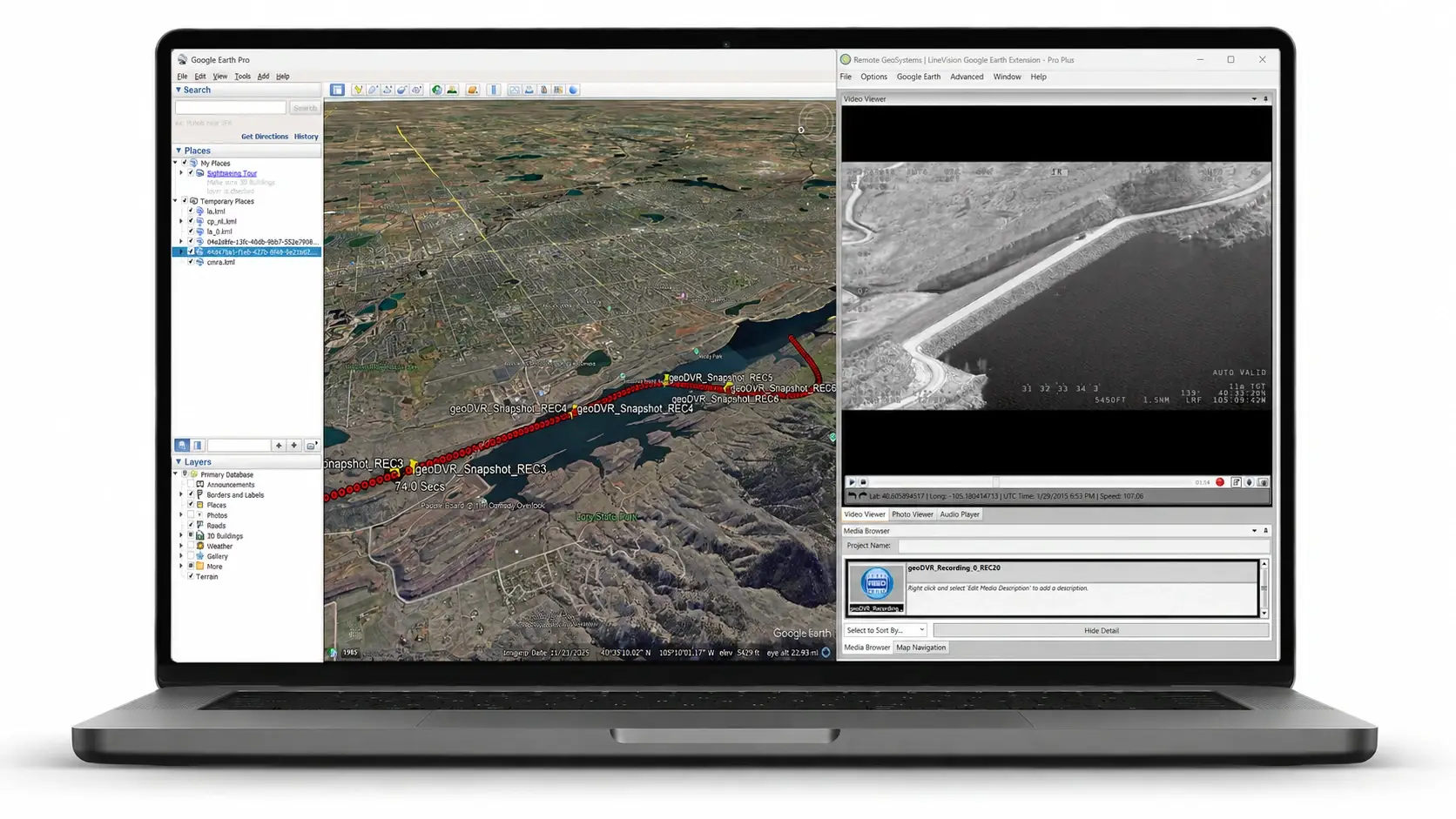
Our LineVision extension for Google Earth offers a flexible solution for mapping, reporting and packaging geotagged videos, MISB FMV/STANAG 4609-spec videos, photos and other sensor data from survey, inspection and surveillance projects using the world's most popular 3D mapping software.
LineVision Google Earth Extension is a simple tool for interactive, “click-on-track” geotagged video & photo playback, analysis and project reporting using Google’s popular globe software as a 3D terrain base mapping application.
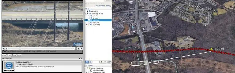
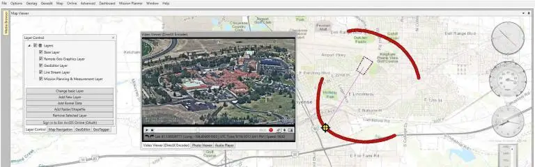
View your aerial and mobile video mapping missions as 3D “tracks” in Google Earth taking into account platform altitude and terrain. Click any point along the path to geographically “fast-forward” or “reverse” the video to that exact location.
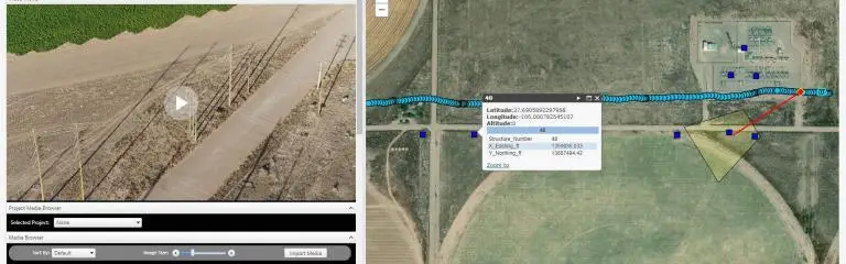
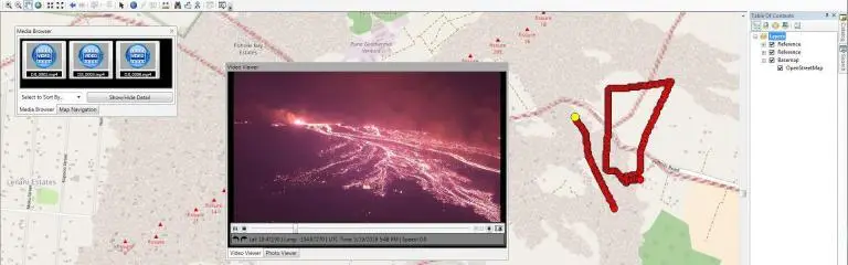
This easy-to-use software is one of the most “open” and versatile geospatial video analysis tools available. Easily playback properly formatted geo-referenced video files from a variety of consumer video cameras, drones, gyro-stabilized video systems and specialized geospatial DVRs, including our own geoDVR hardware
Now even those without GIS experience can easily view this valuable asset location-based multimedia using enterprise maps & data provided in KML format.
LineVision Google Earth offers a complete and unique set of geospatial media and data mapping and reporting capabilities for survey, inspection and surveillance projects.
(Click to expand. Features vary by edition)
GPS Video & GPS File Support
Geo-tagged Photo Support
Geospatial Map Data Support
Geospatial Project Packaging
Single PC, Local Network or Portable Drive:
Recommended Windows PC Specifications
(NOTE: For video creation, video geo-editing and MISB FMV/STANAG 4609 embedding, the recommended or better is needed.)
Processor: 9th Generation Intel Core i7 or better
Ports: USB 3.1
RAM: 16 GB Minimum
Hard Drive: 1 TB Minimum (or more depending on recording length. Ample storage is recommended as video files can take considerable space).
Video Card: Minimum of 4 GB of memory
Minimum Windows PC Specifications
Processor: 8th Generation Intel Core i5 or better
Ports: USB 3.0
RAM: 8 GB Minimum
Hard Drive: 320 GB Minimum (or more depending on recording length. Ample storage is recommended as video files can take considerable space).
Video Card: Minimum of 2 GB of memory

LineVision Desktop is offered in Monthly, Annual and Perpetual license plans. Purchase a license now at our online store or from within the application after downloading the trial. Enterprise licensing is also available.
(Clicking Buy Now will take you to our shopping cart for secure checkout)
Check out the latest LineVision Google Earth Extension related news and updates from Remote GeoSystems.
Access LineVision Google Earth Extension User Manuals and How-to Videos to help get you up and running fast!