Home > Recorders > geoDVR Modules > DSLR Camera Geotagging
DSLR Camera Geotagging
Optional geoDVR Module for Realtime and Batch Geotagging DSLR Camera Photos Onboard the geoDVR
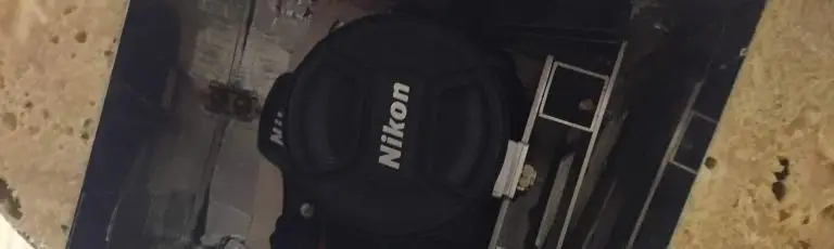
The optional geoDVR DSLR Geotagging Module is designed for DSLR still image cameras that do not have a method for directly geotagging the image at the time of capture onboard the camera body. When images are triggered they will be sent to the geoDVR SSD data drive where they will be geotagged.
This module is applicable to both gimbal-installed and fixed mounted cameras.
DSLR Camera Geotagging Features
High-resolution Photo Geotagging Solution for Airborne, Terrestrial & Marine Mobile Mapping Platforms.
Camera Agnostic
Geotag photos from most high-resolution digital still image cameras capable of connecting to and sending images to a PC, including gimbal-installed and fixed-mounted cameras.
Map-Ready Photos
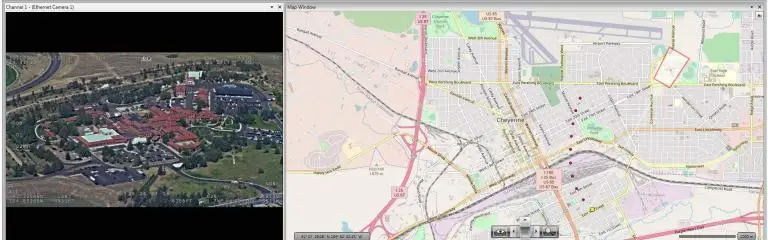
Geotagged still images can be loaded for interactive map-based viewing, editing, analysis and reporting in our LineVision software - no post-processing required!
Configurable Settings
Configurable settings allow user control over nearly all module functions including, storage directory, performance tolerances, match properties and GPX/waypoint logging options.
Capture with Video Waypoint Images
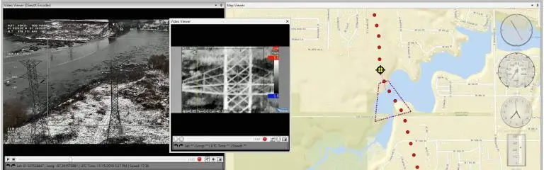
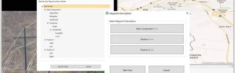
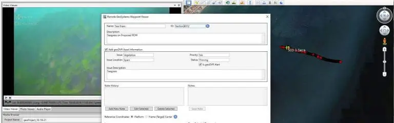
Option to capture still images from any video streams along with the high-resolution DSLR camera photos for enhanced geoDVR waypoint functionality in LineVision software.
Geotag without Recording Video
Allows for real-time, batch or user-initiated photo geotagging even if the geoDVR is not recording video and can even be offered on geoDVR hardware as a photo-only mission computer.
Complementary Modules
Use in conjunction with the Advanced Image Geotagging module to geotag with the location data represented by the photo's frame center, frame top center, frame bottom center or the platform.
Features may vary by geoDVR configuration, optional modules & cameras/sensors used.
Share this page with Colleagues & Clients!
Compatible geoDVRs
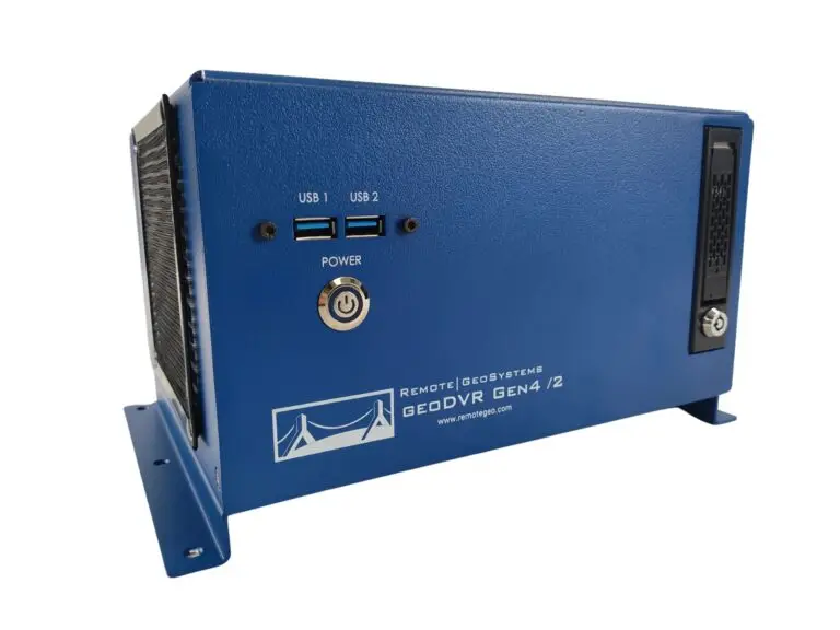
The following geoDVR models offer the optional DSLR Camera Geotagging module.
Other geoDVR Modules
Explore other optional geoDVR modules for enhanced in-mission capabilities and metadata capture requirements for a variety of geospatial full motion video data collection applications.