

Geotag, Map, Edit, Report, Share & Manage Geospatial Full Motion Videos, Photos and Other Metadata from Inspection, Patrol, Survey & Surveillance Operations
Geotag Video, Interactive Map-based Playback & Geospatial Video Editing

LineVision Online
Now available in hosted Professional and Team Editions as well as on-premise Enterprise deployments.
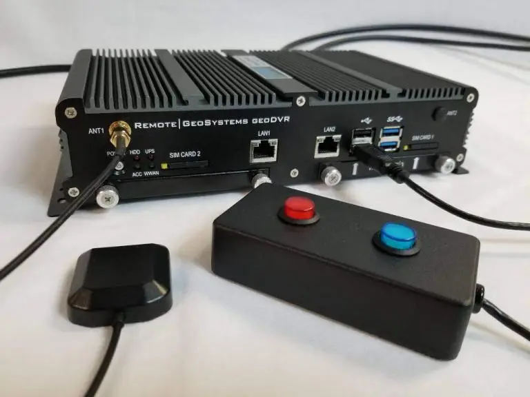
Record Georeferenced Full Motion Video & Audio with Continuous GPS & Other Important Project Metadata with our Patented geoDVR™ Systems.
Record Georeferenced Audio-only Files with Continuous GPS & Other Important Project Metadata with Our geoDSR™ Systems.
Enhance your geospatial video and audio data collection capabilities with our optional geoDVR & geoDSR modules.

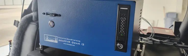
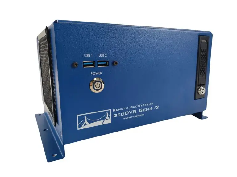
New geoDVR Gen4 /2
Offering professional 4K UHD & HD geospatial full motion video recording – Ideal for multi-camera data collection platforms.
Our professional geoDVR video recording systems and integrated LineVision software options are ideal for airborne, drone, vehicle, rail & marine survey mapping and surveillance data collection platforms.

Ballard Marine Construction
geoDVR Gen3 for recording georeferenced video from a VideoRay subsea ROV.

DJI Drone Software
Offering professional video and photo mapping software for DJI drone survey and inspection projects.
Home > Airborne Systems > Aerial Environmental Survey Video Solutions
Geospatial Full Motion Video Recorders and Integrated GIS Mapping Software for Aerial Environmental Monitoring, Wildlife Surveys and Natural Resources Management Projects
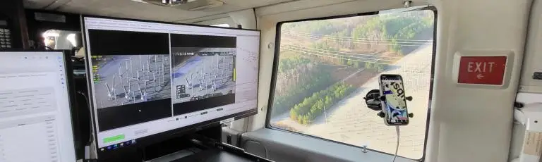
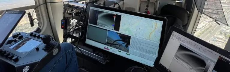
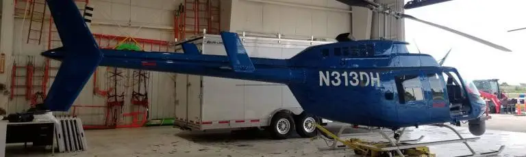
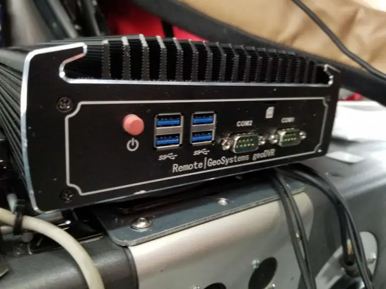
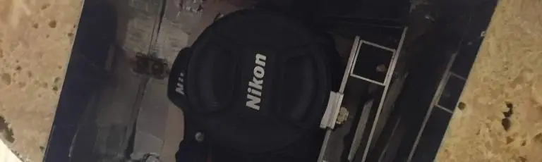
Natural resources specialists, wildlife researchers and environmental compliance professionals use our rugged geoDVR™ geospatial full motion video recorders to capture and geotag video from aerial video camera sensors.
The geoDVR video recorder systems are portable and easy to use with nearly any aircraft and video camera, while eliminating in-flight manual note-taking and post-flight GPS video data processing, which drastically reduces reporting time and integration with mapping and GIS software.
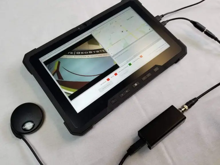
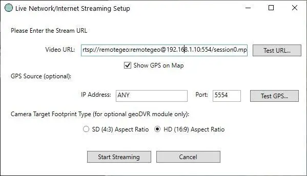
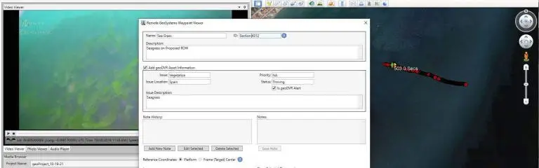
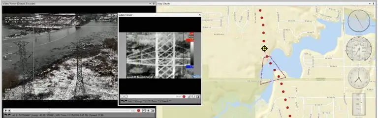
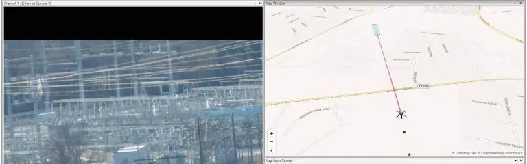
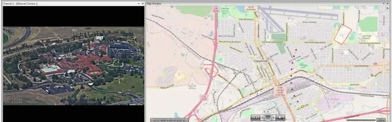
Geo-referenced video files created by the geoDVR are easy to playback, analyze and share with maps using our LineVision suite of video and project data mapping software, including tools for Esri ArcGIS, Google Earth and our browser-based LineVision Online application.
Our geoDVR systems are available in different form factors and configurations to accommodate a variety of georeferenced video recording workflows from aerial environmental survey and natural resource management platforms.
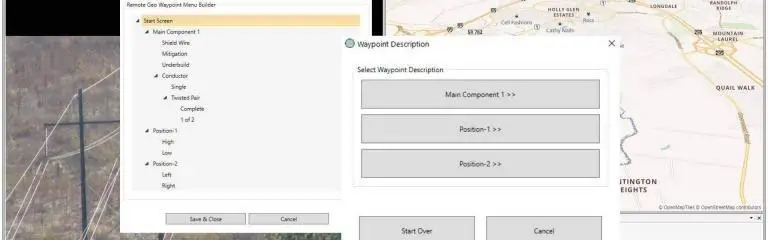
Our optional geoDVR modules offer flexible and scalable “add-on” functionality for enhanced in-flight geospatial video and subject metadata capture.
Our LineVision software offers flexible options for building and sharing interactive post-flight deliverables with geotagged videos, photos and other data from aerial conservation and environmental monitoring surveys.
Check out related aerial natural resource management news and content from Remote GeoSystems.