Home > Airborne Systems > Aerial Pipeline Patrol Video Mapping Solutions
Aerial Pipeline Patrol Video Mapping Solutions
Geospatial Full Motion Video Recorders, Moving Maps and Integrated Mapping Software for Aerial Pipeline Patrol, Inspection & Survey Operations
Regulatory agencies require oil, gas & chemical pipeline operators to conduct periodic aerial pipeline patrol and inspection flights to detect risks to the pipeline & ROW, general public and natural environment. The prospects of natural disasters, security threats and product theft require even greater pipeline monitoring diligence.
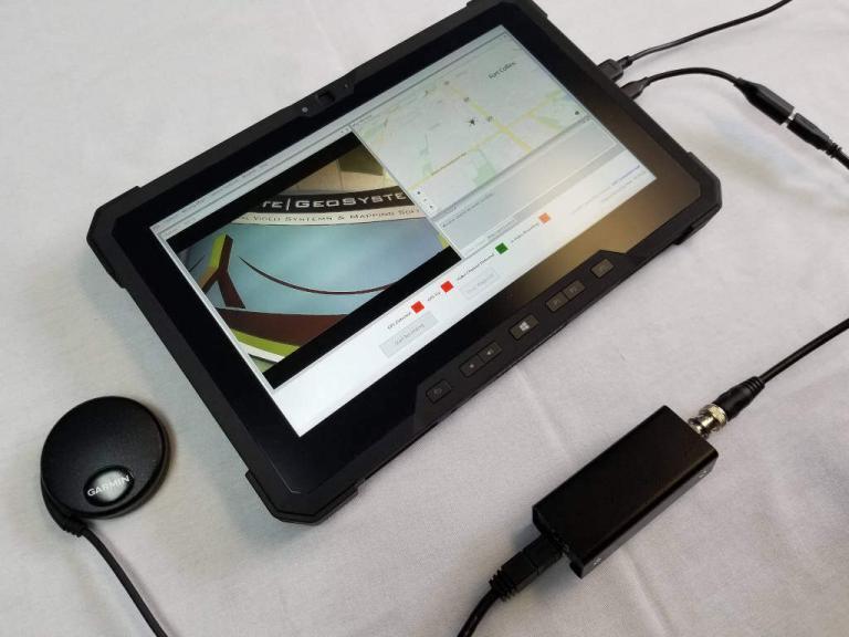
Video has become an efficient and acceptable method for documenting current conditions along a pipeline ROW. By adding GPS and time data to the video, specialists and end-users can have access to video frames by clicking on a flight track on a map.
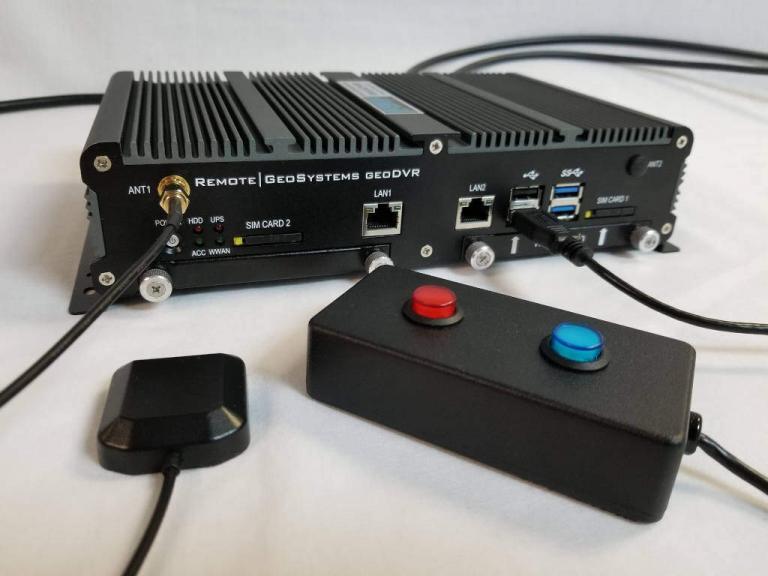
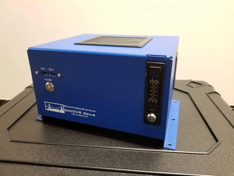
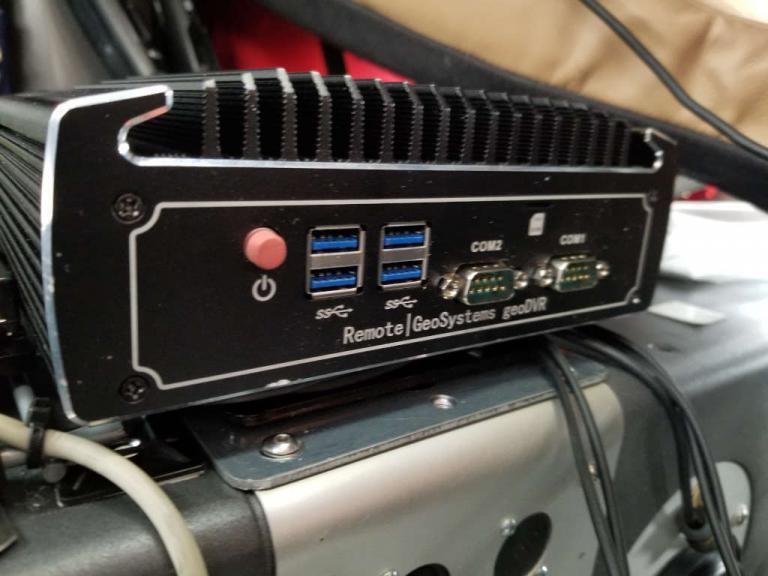
Aerial pipeline patrol operators use our industry-leading geoDVR™ airborne video recorder to geotag video from multiple cameras & sensors for routine patrols and comprehensive leak detection and right-of-way integrity surveys.
Post-mission, pipeline integrity specialists and GIS analysts use our LineVision™ video mapping and gas leak data software solutions to help them drastically reduce the post-flight mapping and reporting process using the geoProject™ reporting method.
Whether you are using just a hand-held FLIR, fixed-mount cameras or an aircraft-mounted gimbal sensor, we have solutions that enable companies, vendors and other stakeholders to view and share this data throughout their workflows using existing GIS mapping systems like the Esri ArcGIS platform and Google Earth.
Aerial Pipeline Patrol Solutions
Geospatial Full Motion Video Recorders for Aerial Pipeline Patrol
Geospatial Inspection Software Applications for Aerial Pipeline Patrol
geoDVRs & Modules for Airborne Pipeline Patrol
Our geoDVR systems are available in different form factors and configurations to meet a variety of in-flight aerial pipeline patrol & leak detection camera/sensor integrations and workflows.
Our optional geoDVR modules offer flexible and scalable capabilities for meeting enhanced in-flight asset metadata capture requirements for aerial pipeline patrols & leak detection.
Pipeline Gas Leak Detection System (LDS) Integration
Remote GeoSystems can also incorporate data from specialized airborne gas leak detection system manufacturers into our geoDVR recorders and LineVision software, offering a complete solution from data collection hardware to GIS map-based reporting and archive solutions.
Aerial Pipeline Patrol Applications
- Thermal IR & Pipeline Leak Detection
- Pipeline Right-of-Way (ROW) Corridor Patrols
- Damage Prevention Programs
- Environmental & Emission Monitoring
- ROW Vegetation Management & Clearing
- Pipeline & Oilfield Security
- Construction Life Cycle Monitoring
- HCA Assessments & GIS Updates
Share this page with Colleagues & Clients!
Aerial Pipeline Patrol News & Updates
Check out related airborne pipeline patrol and leak detection news and content from Remote GeoSystems.


