




Geotag, Map, Edit, Report, Share & Manage Geospatial Full Motion Videos, Photos and Other Metadata from Inspection, Patrol, Survey & Surveillance Operations
Geotag Video, Interactive Map-based Playback & Geospatial Video Editing

LineVision Online
Now available in hosted Professional and Team Editions as well as on-premise Enterprise deployments.
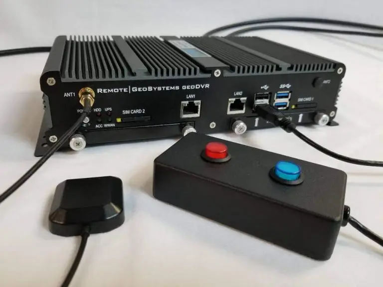
Record Georeferenced Full Motion Video & Audio with Continuous GPS & Other Important Project Metadata with our Patented geoDVR™ Systems.
Record Georeferenced Audio-only Files with Continuous GPS & Other Important Project Metadata with Our geoDSR™ Systems.
Enhance your geospatial video and audio data collection capabilities with our optional geoDVR & geoDSR modules.

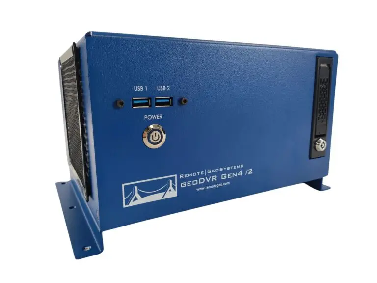
New geoDVR Gen4 /2
Offering professional 4K UHD & HD geospatial full motion video recording – Ideal for multi-camera data collection platforms.
Our professional geoDVR video recording systems and integrated LineVision software options are ideal for airborne, drone, vehicle, rail & marine survey mapping and surveillance data collection platforms.

Ballard Marine Construction
geoDVR Gen3 for recording georeferenced video from a VideoRay subsea ROV.

DJI Drone Software
Offering professional video and photo mapping software for DJI drone survey and inspection projects.
Home > Recorders > geoDVR Modules > Drill Down Waypoint Descriptions
The Drill Down Waypoint Descriptions module builds on our classic Waypoint Keywords module functionality by allowing users to now set-up a “tree structure” workflow, where based on the initial waypoint selected will then present them with options based on that specific selection.
For example, selecting “Insulators” may present the user with additional keywords of Glass Insulator, Ceramic Insulator, etc. This can go as deep as the user wishes.
There is a Waypoint Menu Builder wizard that easily walks the user through the custom set up and saving and they can even save multiple different mission profiles to call up as needed before flight. Say one profile for routine patrols and another profile for comprehensive patrols.
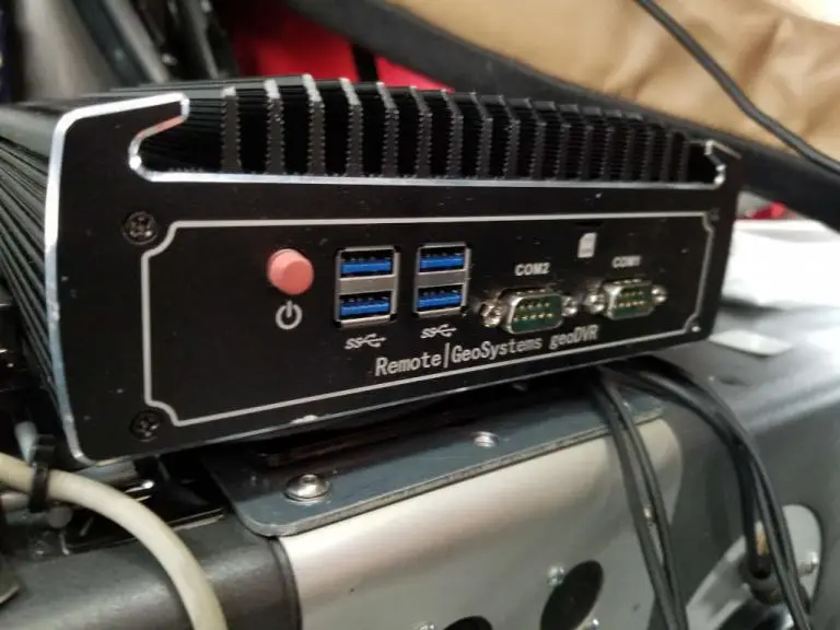
The following geoDVR models support the optional Drill-down Waypoint Descriptions Module for advanced survey, inspection and patrol video recording and location metadata collection.
The following LineVision software versions support the optional Drill-down Waypoint Descriptions module.
Explore other optional geoDVR modules for enhanced in-flight mission capabilities and metadata capture requirements for a variety of geospatial full motion video data collection applications.