Home > Gimbal Camera Solutions
Gimbal Camera Solutions
Multi-channel Geospatial Video Recorders and Moving Map Systems for Gimbal Cameras with GIS Mapping & Reporting
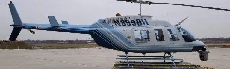
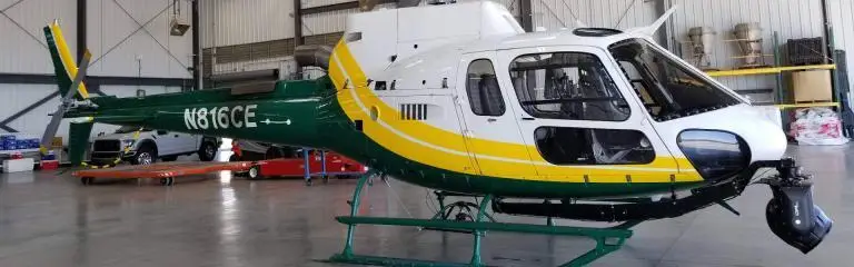
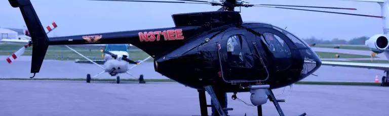
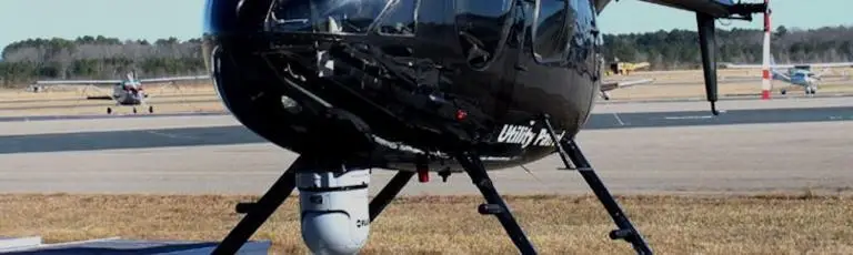
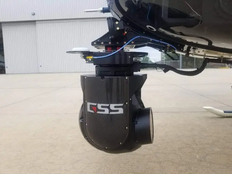
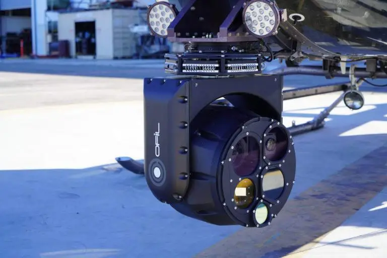
Remote Geosystems offers the most advanced off-the-shelf and customizable multi-channel video recorders, moving map systems and mission mapping and reporting software for gyro-stabilized gimbal cameras platforms; including aircraft, drones, ground vehicles & marine vessels.
Our geoDVRs (geospatial digital video recorders) and mapping system is perfect for upgrading the mission capabilities new gimbals and retro-fitting older, legacy systems.
The geoDVR systems are “camera manufacturer-agnostic”, meaning we offer our clients flexible multi-channel geospatial digital video recorder and mission mapping systems that will work nearly any gimbal camera system, maximizing return on investment.
At the same time, over the years our team has developed a deep understanding of specific systems and trusted relationships with some of the of the major airborne, marine and vehicle-mounted gimbal camera manufacturers as well independent maintenance and upgrade specialists, insuring professional and knowledgeable support long after the geoDVR system sale.
LineVision suite of software applications tie everything together for post-flight map-based playback, analysis, reporting and data management.
Geospatial Video Recorders & Mapping Software for Gimbal Cameras
Geospatial Full Motion Video Recorders
Geospatial Video & Photo Mapping Software
Featured Gimbal Camera Partners
Share this page with Colleagues & Clients!
Gimbal Camera News & Updates
Check out related gimbal news and content from Remote GeoSystems.