




Geotag, Map, Edit, Report, Share & Manage Geospatial Full Motion Videos, Photos and Other Metadata from Inspection, Patrol, Survey & Surveillance Operations
Geotag Video, Interactive Map-based Playback & Geospatial Video Editing

LineVision Online
Now available in hosted Professional and Team Editions as well as on-premise Enterprise deployments.
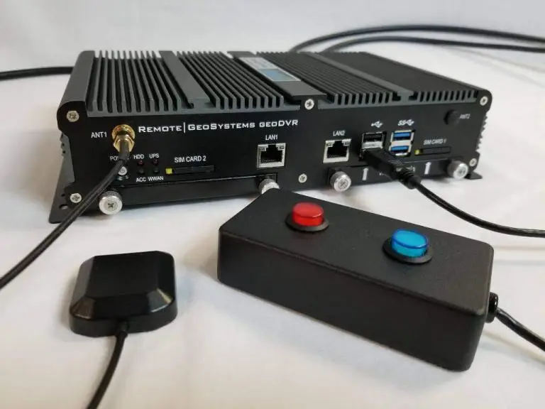
Record Georeferenced Full Motion Video & Audio with Continuous GPS & Other Important Project Metadata with our Patented geoDVR™ Systems.
Record Georeferenced Audio-only Files with Continuous GPS & Other Important Project Metadata with Our geoDSR™ Systems.
Enhance your geospatial video and audio data collection capabilities with our optional geoDVR & geoDSR modules.

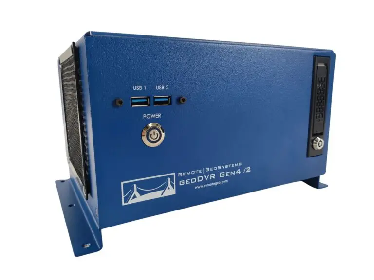
New geoDVR Gen4 /2
Offering professional 4K UHD & HD geospatial full motion video recording – Ideal for multi-camera data collection platforms.
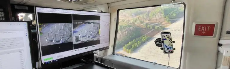
Our professional geoDVR video recording systems and integrated LineVision software options are ideal for airborne, drone, vehicle, rail & marine survey mapping and surveillance data collection platforms.

Ballard Marine Construction
geoDVR Gen3 for recording georeferenced video from a VideoRay subsea ROV.

DJI Drone Software
Offering professional video and photo mapping software for DJI drone survey and inspection projects.
Home > Gimbal Camera Solutions > Gyro-Stabilized Systems (GSS)
geoDVR Video Reorders & LineVision Software for GSS Gimbal Cameras
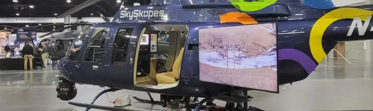
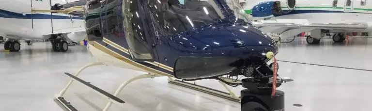
Remote GeoSystems is to proud to partner with GSS to offer the geoDVR Gen4 as the OEM video recorder for the company’s survey, inspection and surveillance gimbal camera platforms.
Our geoDVR geospatial full motion video recorders are the ideal turn-key upgrade for your new or existing GSS/Cineflex gimbal camera systems.
Our LineVision suite of software offers turn-key solutions for mapping videos and photos from your GSS gimbal camera system.
Check out customer installations featuring GSS gimbal cameras and Remote GeoSystems geoDVRs.