Home > Marine Geospatial Video Systems
Marine Geospatial Video Systems
From data collection to sharable GIS-ready deliverables - Advance your subsea ROV and surface vessel marine inspection and surveillance operations with our muti-camera geoDVR full motion video recorders and interactive LineVision mapping & reporting software.
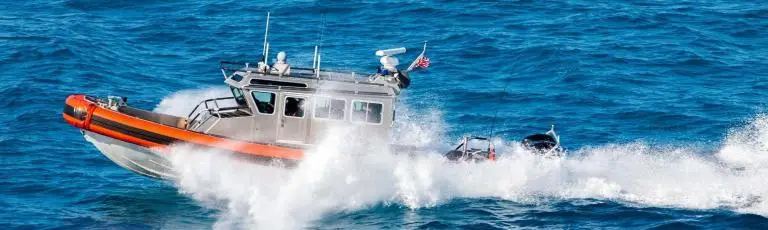
Remote GeoSystems designs and builds the geoDVR™ multi-camera geospatial video recorders for marine subsea rovers and surface vessels, The LineVision™ GIS integration solutions for post-mission mapping and analysis.
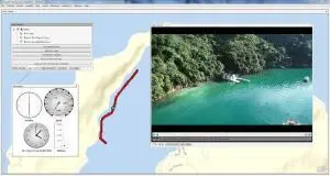
Georeferenced video files created by the geoDVR are easy to view and analyze in our LineVision suite of mapping applications; including our standalone software, LineVision Desktop, our enterprise LineVision Online and extensions for Esri ArcGIS and Google Earth.
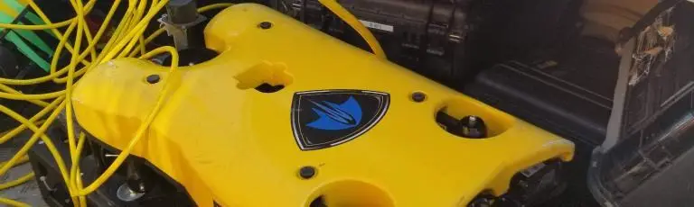
Remote GeoSystem’s customers are using the geoDVR video recorder and LineVision GIS software for marine survey projects like subsea pipeline & communication line inspection, shoreline mapping, marine life research and underwater seagrass monitoring.
Remote GeoSystems is equalizing the field when it comes to user-friendly marine video mapping solutions.
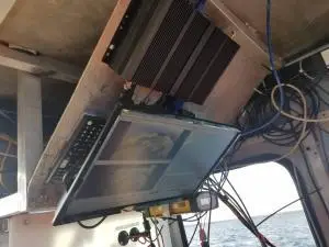
geoDVR Marine Full Motion Video Recorders
Marine Survey Video Mapping Software
Proven Video Systems for Marine Video Mapping Missions
Turn-key Solutions to Record and Map Geo-referenced Full Motion Video from Surface Vessels and Subsea ROV Survey, Mapping, Inspection and Surveillance Platforms.