Home > Airborne Systems > Aerial Power Line Inspection Video Solutions
Geotag, Map, Edit, Report, Share & Manage Geospatial Full Motion Videos, Photos and Other Metadata from Inspection, Patrol, Survey & Surveillance Operations
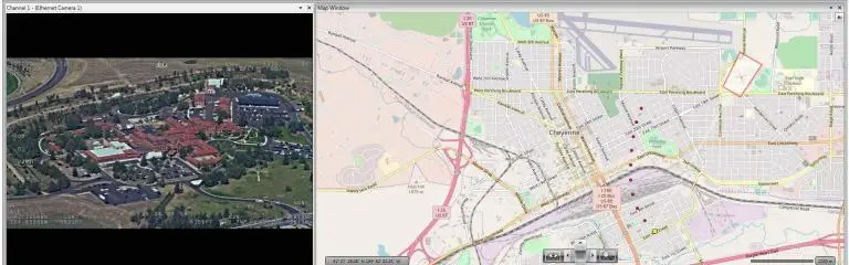
Geotag Video, Interactive Map-based Playback & Geospatial Video Editing
Record Georeferenced Full Motion Video & Audio with Continuous GPS & Other Important Project Metadata with our Patented geoDVR™ Systems.
Record Georeferenced Audio-only Files with Continuous GPS & Other Important Project Metadata with Our geoDSR™ Systems.
Enhance your geospatial video and audio data collection capabilities with our optional geoDVR & geoDSR modules.
Our professional geoDVR video recording systems and integrated LineVision software options are ideal for airborne, drone, vehicle, rail & marine survey mapping and surveillance data collection platforms.

DJI Drone Software
Offering professional video and photo mapping software for DJI drone survey and inspection projects.
Home > Airborne Systems > Aerial Power Line Inspection Video Solutions
Geospatial Full Motion Video Recorders, Moving Maps and Integrated Mapping Software for Aerial Power Line Inspection, Survey & Patrol Operations
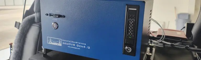
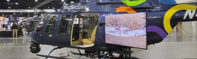
Aerial power line inspection operators across the globe use our industry-leading airborne geoDVR™ geospatial video recorders to geotag video from multiple camera sensors for comprehensive asset inspections, routine right-of-way patrols and storm/disaster response.
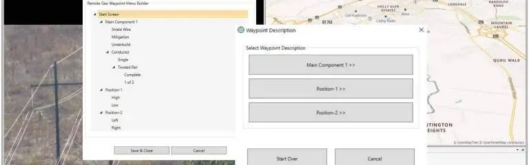
Our rugged geoDVR systems eliminate in-flight manual note-taking and post-flight GPS/video data processing which drastically reduces reporting time.
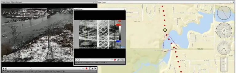
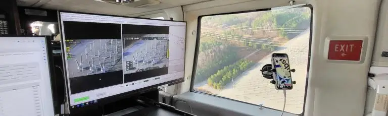
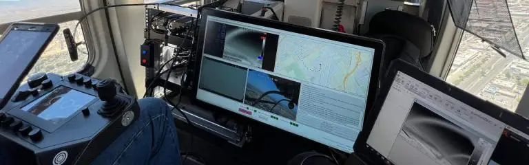
Whether using just a hand-held IR/UV camera, fixed-mount cameras or an aircraft-mounted multi-sensor gyro-stabilized gimbal, our geoDVRs allow observers to easily to record, annotate and continuously geotag video for playback and analysis with mapping and GIS software applications.
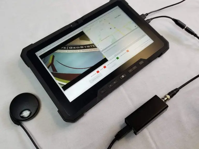
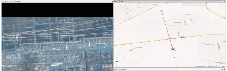
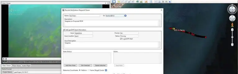
Georeferenced video files created by the geoDVR are easy to view and analyze in our LineVision suite of GIS video mapping software, including tools for Esri ArcGIS, Google Earth, PLS-CADD and our browser-based LineVision Online application.
Using LineVision, aircraft operators, transmission line engineers and GIS analysts can immediately review georeferenced videos and high-resolution oblique still photos with maps and create interactive and immersive “geoProject™” reports that can be shared and collaborated on with utility stakeholders, clients and vendors.

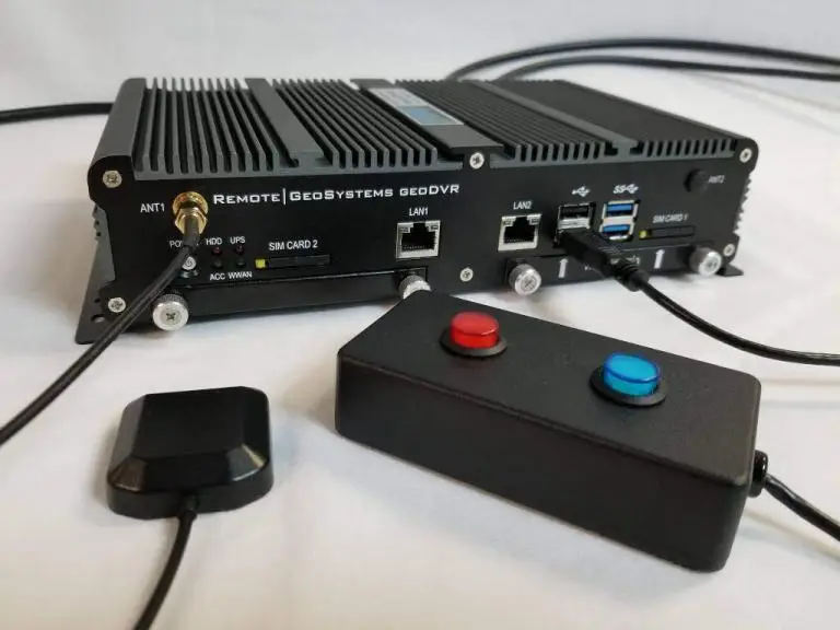
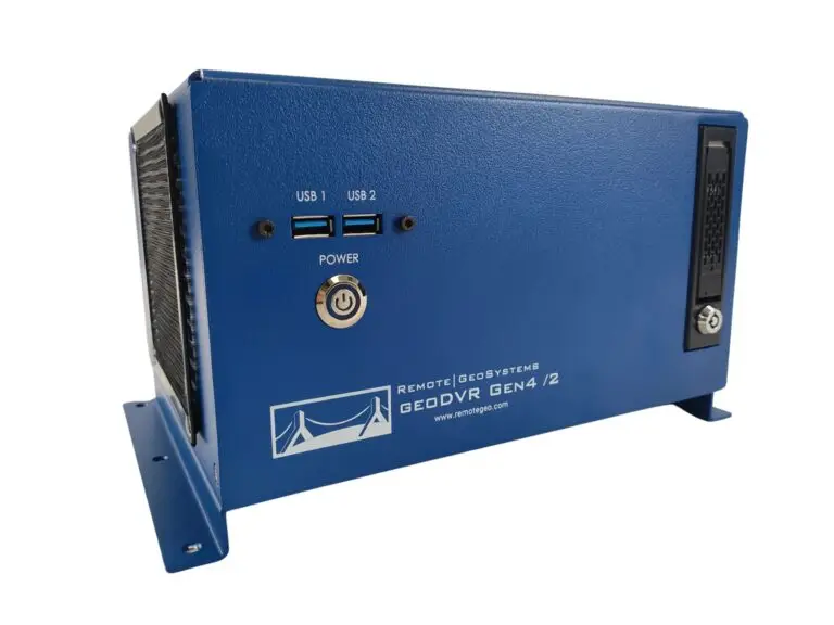
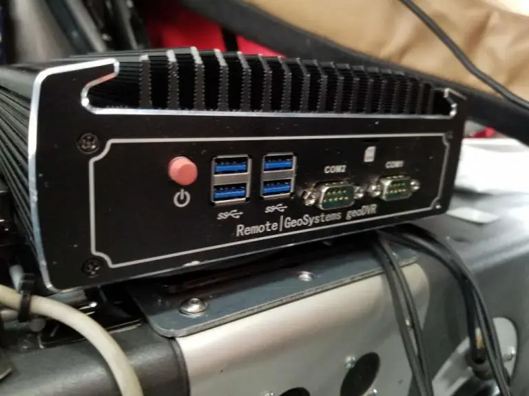
Our geoDVR systems are available in different form factors and configurations to meet a variety of in-flight aerial powerline inspection camera sensor integrations and workflows.
Our optional geoDVR modules offer flexible and scalable capabilities for meeting enhanced in-flight asset metadata capture requirements for aerial powerline inspections & right-of-way patrols.
Check out related airborne utility and powerline inspection news and content from Remote GeoSystems.