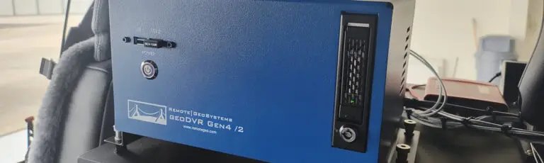
FORT COLLINS, Colorado, USA – Remote GeoSystems, Inc. is pleased to announce the official release and shipment of the geoDVR™ Gen2 – Remote Geo’s second generation Geospatial Digital Video Recorder.
The geoDVR Gen2 is an advanced “plug & play” DVR for recording multiple channels of geo-referenced High-Definition and Standard-Definition full motion video (gFMV™) in aerial and mobile mapping environments.
Unlike most DVRs, the geoDVR includes both “open format” and Patent Pending methods that log GPS and permanently embed the video with this important location, time and other data. This means the videos can be edited and still keep the GPS data intact for later mapping projects.
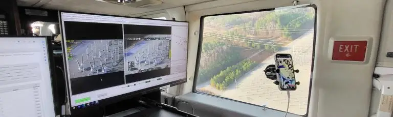
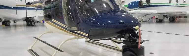
Operators simply connect nearly any fixed-mount or gyro-stabilized gimbal video camera to the geoDVR, and in under two minutes you are ready to start recording High-Def and/or Standard-Def geo-referenced video, audio, photos and points of interest (POI).
geoDVR Gen2 Features:
- Geo-referenced (GPS) Video
- Multi-channel HD & SD Recording
- Live Video Feed Monitoring
- Snap Geotagged Photos from Video
- Mark Points of Interest with Waypoints
- HD-SDI, BNC & IP Input Connections
- Removable Solid State Drives for Longer Recording & 30x Faster Write Speeds
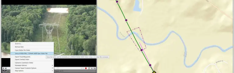
By recording GPS metadata synced with video, the geoDVR offers powerful post-mission mapping and interactive analysis capabilities for utility & pipeline inspections, law enforcement, search & rescue and mobile mapping projects, giving subject matter experts the ability to easily review and exploit the where, when and what contained within the geo-referenced video.
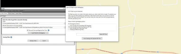
Videos, photos, points of interest/waypoints and audio notes collected with the geoDVR are compatible with the Remote GeoSystems LineVision™ suite of GIS & Project mapping software. LineVision allows for simple desktop playback, analysis and project packaging utilizing the Esri ArcGIS Platform, Google Earth & PLS-CADD.
The geoDVR Gen2 is available in three standard configurations:
– Dual HD/SD – 2 high-def and 2 standard-def video channels, ideal for today’s modern stabilized cameras
– Triple HD – 3 high-def video channels, ideal for terrestrial mobile mapping vehicles
– Quad SD – 4 standard-def channels, ideal for retrofitting older camera systems with modern geo-referencing
Custom configurations and modules are also available. Learn more at www.remotegeo.com
###