Our professional geoDVR video recording systems and integrated LineVision software options are ideal for airborne, drone, vehicle, rail & marine survey mapping and surveillance data collection platforms.
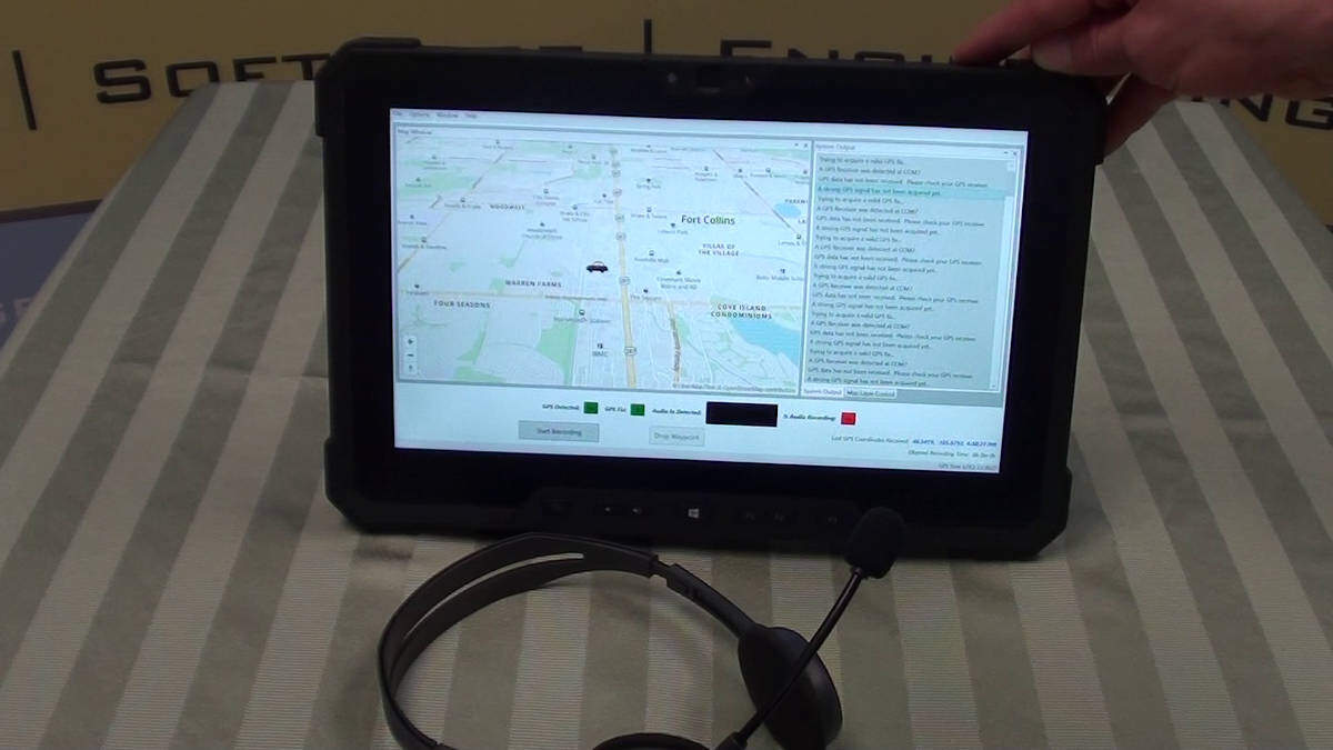
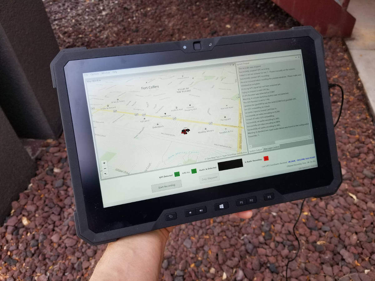
The geoDSR™ Tablet is our “Geospatial Digital Sound Recorder” system deployed on a rugged Windows-based tablet offering a professional user-friendly data collection device for recording georeferenced audio. The geoDSR Tablet is used to record sound along with continuous GPS metadata from moving platforms such as aircraft, vehicles and people for use in GIS mapping and analysis software.
As an “all-in-one” tablet, the geoDSR Tablet eliminates the need for a separate GPS receiver, touchscreen monitor, power source and cabling for an ultra-portable solution without any additional physical setup requirements. Simply plug a headset, microphone or other audio line-in, and in seconds you are recording continuously geotagged audio files for map-based playback.
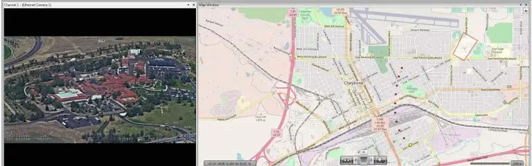
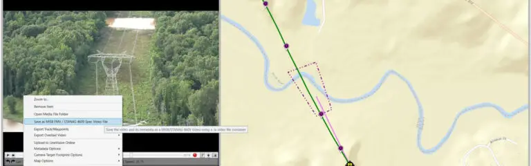
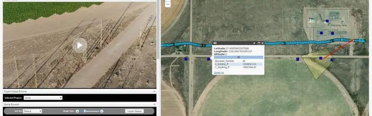
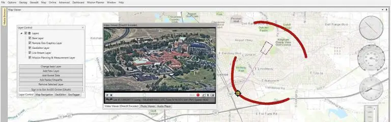
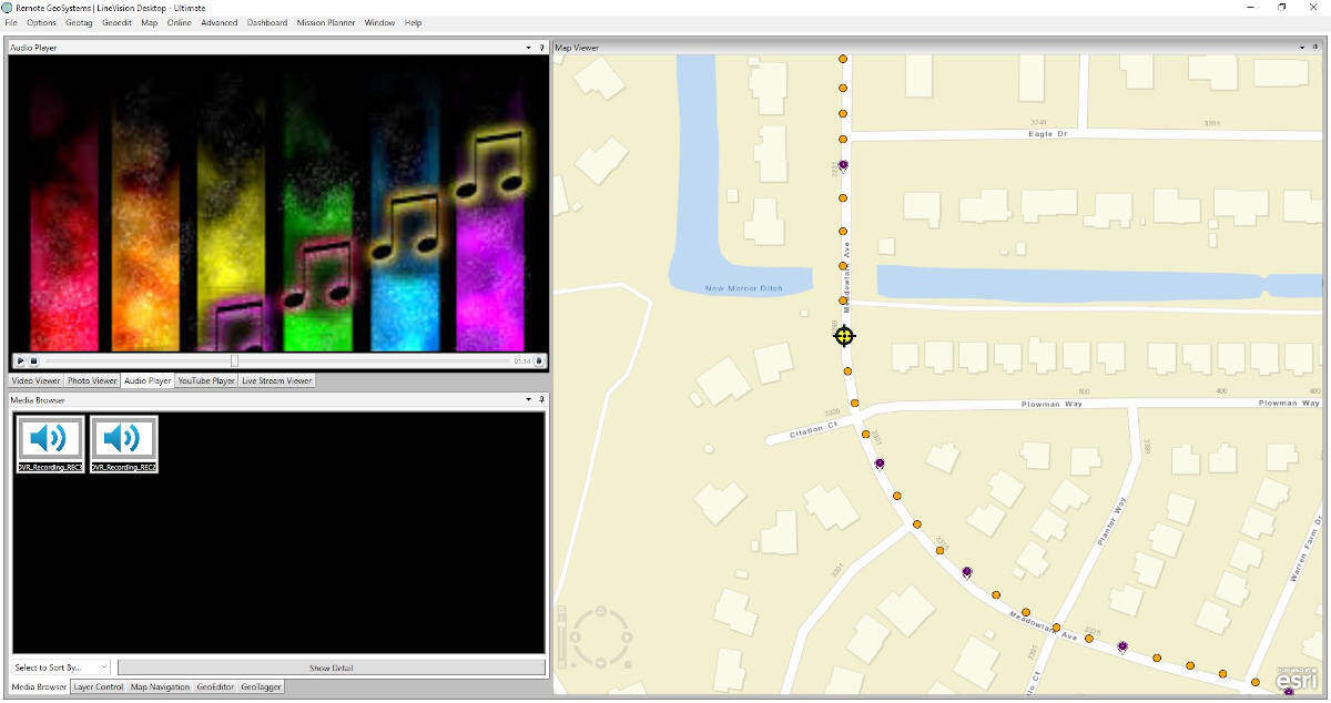
Post-data collection, georeferenced audio files recorded with the geoDSR Tablet can be opened in our LineVision™ mapping software suite, giving users the ability to click on a GPS track to cue and listen to the sound at any given location.
geoDSR Tablet Capabilities
Geo-reference audio with synchronized continuous GPS coordinates
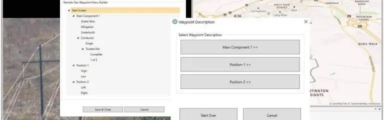
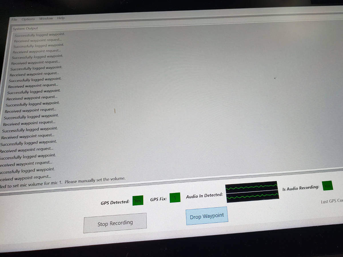
Mark points of interest along the route with waypoints and optional descriptions
See your real-time position and route on a map while recording
Post-mission mapping software for “click-on-route” audio/sound playback
geoDVR Tablet Videos
geoDSR Playlist
1 Videos
3:06
geoDVR Tablet Optional Modules
Our optional geoDSR modules offer flexible and scalable capabilities for enhanced in-flight mission capabilities and metadata capture requirements for a variety of geospatial audio data collection applications.
Some specifications will vary depending on geoDSR Tablet configuration, optional modules selected and/or types of camera(s) used. Specifications are subject to change based on available tablet PC hardware.
Ready to Get Started?
Free Trial
We offer Full-featured, 7-day FREE Software Trials for Any Version with Sample geoDSR Audio. No Credit Card Required!
Playback and analyze georeferenced geoDSR audio data with our interactive LineVision mapping and reporting software suite with support the Remote GeoSystems “geoProject” deliverable format.
geoDSR News & Updates
Check out the latest geoDSR related news and updates from Remote GeoSystems.