FORT COLLINS, Colorado / LAS VEGAS, Nevada, USA – Remote GeoSystems will be demonstrating their LineVision software solutions for the integration of geo-referenced helicopter and drone videos, photos and other sensor data with enterprise GIS mapping systems along with the company’s geoDVR airborne geospatial video recorders at HAI HELI-EXPO 2018.
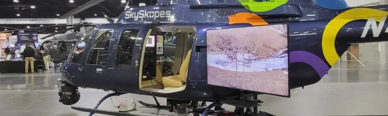
Remote GeoSystems will be exhibiting at booth C2755 in the Central Hall at the Las Vegas Convention Center near the main entrance, across the aisle from Columbia Helicopters.
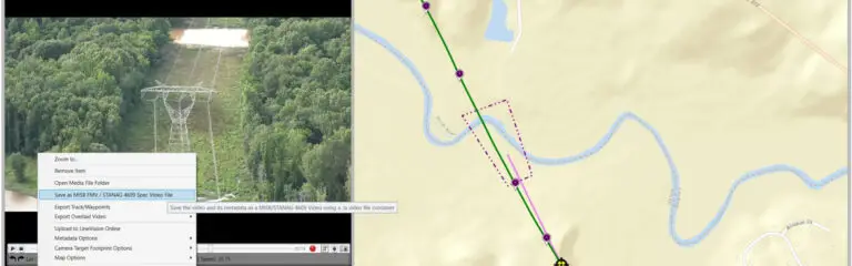
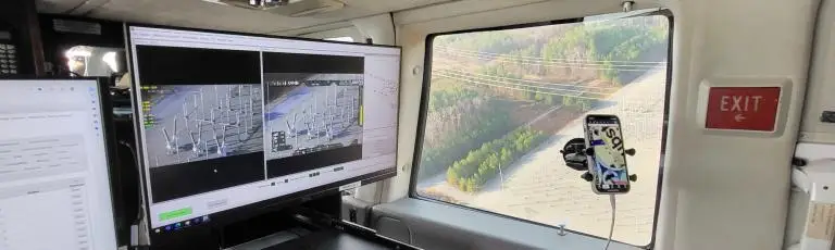
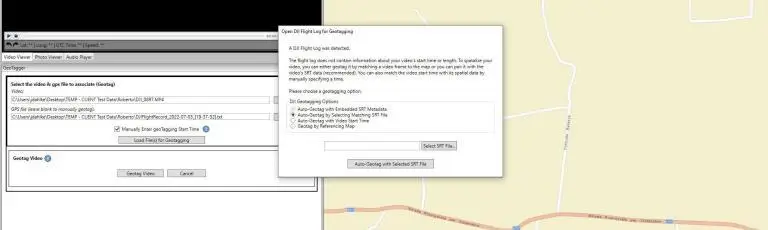
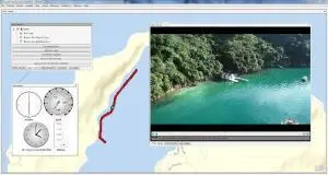
Professional helicopter and UAV operators need a user-friendly method to map, search, analyze, report, collaborate and share geotagged video, photos, other sensor data and documents using existing GIS platforms.
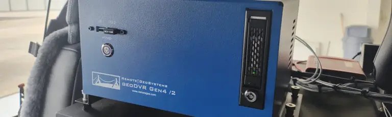
Remote GeoSystems’ camera-agnostic geoDVR aerial video recorders and LineVision desktop and web-based solutions are the ideal complement to any airborne survey, inspection, SAR and/or surveillance project, giving operators at any skill level the ability to create geospatial deliverables for Utilities, Oil & Gas, Rail, Environmental, SAR, Security and other video recording, photo and data gathering applications.
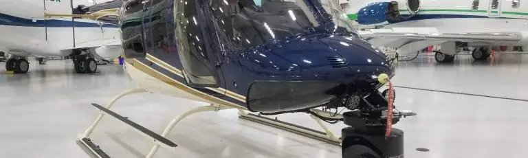
Whether you are using just a GoPro, hand-held FLIR or an aircraft-mounted fixed or gimbal camera, Remote GeoSystems has the solutions to enable you to easily geotag, view and share this data on maps with your team and other stakeholders.